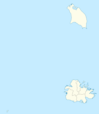
틀:위치 지도 앤티가 바부다
← 틀:위치 지도
| 이름 | 앤티가 바부다 | |||
|---|---|---|---|---|
| 경계 좌표 | ||||
| 17.755 | ||||
| -62.4 | ←↕→ | -61.639 | ||
| 16.919 | ||||
| 지도 중심 | 북위 17° 20′ 13″ 서경 62° 01′ 10″ / 북위 17.337° 서경 62.0195° | |||
| 그림 | Antigua and Barbuda location map.svg
| |||

| ||||
| 그림1 | Antigua and Barbuda location map Topographic.png
| |||

| ||||
← 틀:위치 지도
| 이름 | 앤티가 바부다 | |||
|---|---|---|---|---|
| 경계 좌표 | ||||
| 17.755 | ||||
| -62.4 | ←↕→ | -61.639 | ||
| 16.919 | ||||
| 지도 중심 | 북위 17° 20′ 13″ 서경 62° 01′ 10″ / 북위 17.337° 서경 62.0195° / 17.337; -62.0195 | |||
| 그림 | Antigua and Barbuda location map.svg
| |||

| ||||
| 그림1 | Antigua and Barbuda location map Topographic.png
| |||

| ||||