
파일:Syria-Iraq-Lebanon location map.svg

SVG 파일의 PNG 형식의 미리보기 크기: 785 × 600 픽셀. 다른 해상도: 314 × 240 픽셀 | 628 × 480 픽셀 | 1,005 × 768 픽셀 | 1,280 × 978 픽셀 | 2,560 × 1,957 픽셀 | 4,485 × 3,428 픽셀
원본 파일 (SVG 파일, 실제 크기 4,485 × 3,428 픽셀, 파일 크기: 972 KB)
파일 설명
| 설명 |
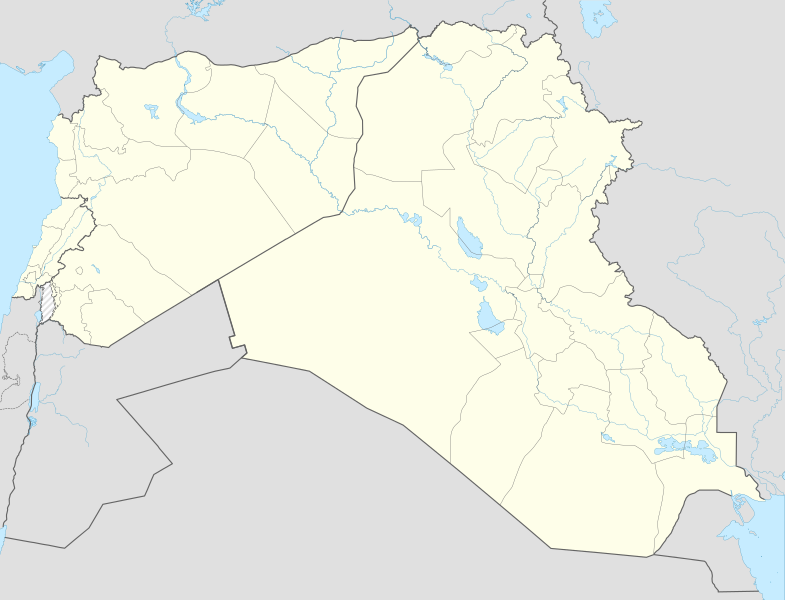
English: Location map of Syria, Iraq and Lebanon. De facto situation.
Equirectangular projection, N/S stretching 115 %. Geographic limits of the map: N: 37.6° N S: 28.4° N W: 34.9° E E: 48.9° EDeutsch: Positionskarte von Syrien und Irak und Libanon. De-facto-Situation.
Quadratische Plattkarte, N-S-Streckung 115 %. Geographische Begrenzung der Karte: N: 37.6° N S: 28.4° N W: 34.9° O O: 48.9° O |
| 날짜 | |
| 출처 | File:Syria-Iraq location map.svg |
| 저자 | NordNordWest, Spesh531, John Smith The Gamer |
라이선스
이 파일은 크리에이티브 커먼즈 저작자표시-동일조건변경허락 4.0 국제 라이선스로 배포됩니다.
- 이용자는 다음의 권리를 갖습니다:
- 공유 및 이용 – 저작물의 복제, 배포, 전시, 공연 및 공중송신
- 재창작 – 저작물의 개작, 수정, 2차적저작물 창작
- 다음과 같은 조건을 따라야 합니다:
- 저작자표시 – 적절한 저작자 표시를 제공하고, 라이센스에 대한 링크를 제공하고, 변경사항이 있는지를 표시해야 합니다. 당신은 합리적인 방식으로 표시할 수 있지만, 어떤 방식으로든 사용권 허가자가 당신 또는 당신의 사용을 지지하는 방식으로 표시할 수 없습니다.
- 동일조건변경허락 – 만약 당신이 이 저작물을 리믹스 또는 변형하거나 이 저작물을 기반으로 제작하는 경우, 당신은 당신의 기여물을 원저작물과 동일하거나 호환 가능한 라이선스에 따라 배포하여야 합니다.
파일 역사
날짜/시간 링크를 클릭하면 해당 시간의 파일을 볼 수 있습니다.
| 날짜/시간 | 섬네일 | 크기 | 사용자 | 설명 | |
|---|---|---|---|---|---|
| 현재 | 2017년 11월 8일 (수) 23:59 | | 4,485 × 3,428 (972 KB) | Rob984 | minor: corrected rivers per location scheme, fixed missing segments in Jordan-Israel border. |
| 2015년 6월 18일 (목) 01:06 |  | 4,485 × 3,428 (968 KB) | Spesh531 | fixed islands in persian gulf | |
| 2015년 6월 18일 (목) 00:55 |  | 4,485 × 3,428 (969 KB) | Spesh531 | adding sublevel lebanon borders and cleaned up borders | |
| 2014년 12월 29일 (월) 04:55 |  | 4,485 × 3,428 (1.04 MB) | Banak | User created page with UploadWizard |
이 파일을 사용하는 문서
다음 문서 1개가 이 파일을 사용하고 있습니다:
이 파일을 사용하고 있는 모든 위키의 문서 목록
다음 위키에서 이 파일을 사용하고 있습니다:
- ar.wikipedia.org에서 이 파일을 사용하고 있는 문서 목록
- en.wikipedia.org에서 이 파일을 사용하고 있는 문서 목록
- Module:Location map/data/Syria-Iraq-Lebanon
- Module:Location map/data/Syria-Iraq-Lebanon/doc
- Template:Syrian, Iraqi, and Lebanese insurgencies detailed map
- Module:Syrian, Iraqi, and Lebanese insurgencies detailed map/doc
- Assault on Rutbah Fort (1941)
- User:Fallen.cze/sandbox
- User:Edisonabcd/sandbox/Syrian, Iraqi, and Lebanese insurgencies detailed map
- si.wikipedia.org에서 이 파일을 사용하고 있는 문서 목록
- ur.wikipedia.org에서 이 파일을 사용하고 있는 문서 목록
- zh.wikipedia.org에서 이 파일을 사용하고 있는 문서 목록