
파일:South Africa Eastern Cape relief location map.svg

SVG 파일의 PNG 형식의 미리보기 크기: 800 × 556 픽셀. 다른 해상도: 320 × 222 픽셀 | 640 × 445 픽셀 | 1,024 × 712 픽셀 | 1,280 × 889 픽셀 | 2,560 × 1,779 픽셀 | 1,298 × 902 픽셀
원본 파일 (SVG 파일, 실제 크기 1,298 × 902 픽셀, 파일 크기: 2.29 MB)
| 설명 |
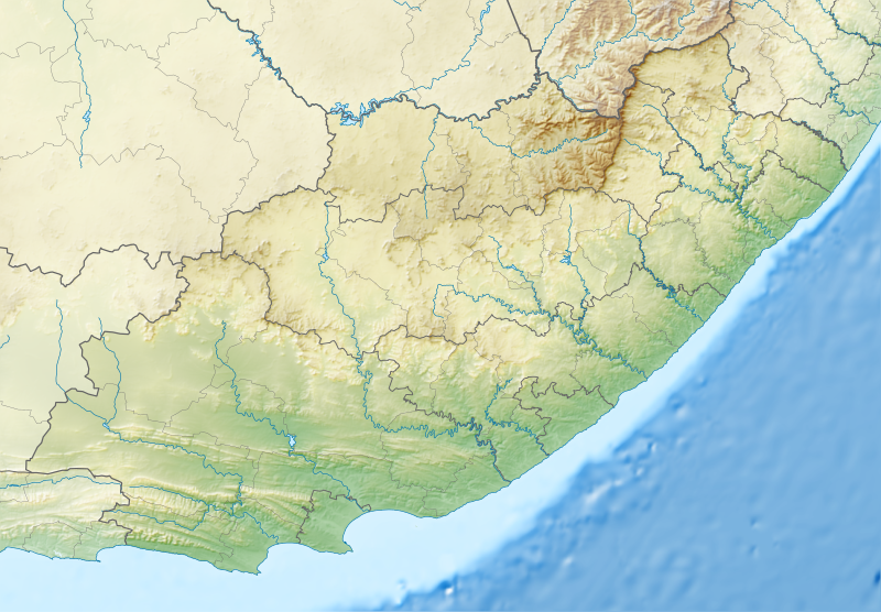
English: Relief location map of the Eastern Cape
Equirectangular projection, N/S stretching 117%. Geographic limits of the map:
|
| 날짜 | |
| 출처 |
|
| 저자 | Htonl |
| 저작권 (이 파일을 인용하기) |
나는 아래 작품의 저작권자로서, 이 저작물을 다음과 같은 라이선스로 배포합니다: 이 파일은 크리에이티브 커먼즈 저작자표시-동일조건변경허락 3.0 Unported 라이선스로 배포됩니다.
|
| 다른 버전 | File:South Africa Eastern Cape location map.svg |
파일 역사
날짜/시간 링크를 클릭하면 해당 시간의 파일을 볼 수 있습니다.
| 날짜/시간 | 섬네일 | 크기 | 사용자 | 설명 | |
|---|---|---|---|---|---|
| 현재 | 2013년 1월 5일 (토) 07:05 | | 1,298 × 902 (2.29 MB) | Htonl | Fix Lesotho masking |
| 2013년 1월 5일 (토) 06:48 |  | 1,298 × 902 (2.29 MB) | Htonl | {{Information |Description ={{en|1=Relief location map of the Eastern Cape Equirectangular projection, N/S stretching 117%. Geographic limits of the map: * N: 29.75° S * S: 34.5° S * W: 22.5° E * E: 30.5° E}} |Source ... |
이 파일을 사용하는 문서
다음 문서 2개가 이 파일을 사용하고 있습니다:
이 파일을 사용하고 있는 모든 위키의 문서 목록
다음 위키에서 이 파일을 사용하고 있습니다:
- af.wikipedia.org에서 이 파일을 사용하고 있는 문서 목록
- ar.wikipedia.org에서 이 파일을 사용하고 있는 문서 목록
- ban.wikipedia.org에서 이 파일을 사용하고 있는 문서 목록
- bg.wikipedia.org에서 이 파일을 사용하고 있는 문서 목록
- bn.wikipedia.org에서 이 파일을 사용하고 있는 문서 목록
- ceb.wikipedia.org에서 이 파일을 사용하고 있는 문서 목록
- de.wikipedia.org에서 이 파일을 사용하고 있는 문서 목록
- en.wikipedia.org에서 이 파일을 사용하고 있는 문서 목록
- King Phalo Airport
- Chief Dawid Stuurman International Airport
- MTS Oceanos
- Ben Macdhui (Eastern Cape)
- Mountain Zebra National Park
- Mthatha
- Nahoon River
- South African PGA Championship
- Shamwari Game Reserve
- Port Alfred Airport
- Inkwenkwezi Private Game Reserve
- User:Xhantar/Sandbox2
- Mthatha Airport
- Doddington (East Indiaman)
- Kouga Dam
- Orange–Fish River Tunnel
- South African Masters
- Africa Open
- Great Fish River Nature Reserve
- Baviaanskloof Mega Reserve
- Commando Drift Nature Reserve
- East London Coast Nature Reserve
- Hluleka Nature Reserve
- Mpofu Nature Reserve
이 파일의 더 많은 사용 내역을 봅니다.