
파일:Map of Pottawatomie Co, Ks, USA.png
미리 보기 크기: 757 × 599 픽셀 다른 해상도: 303 × 240 픽셀 | 607 × 480 픽셀 | 970 × 768 픽셀 | 1,046 × 828 픽셀
원본 파일 (1,046 × 828 픽셀, 파일 크기: 454 KB, MIME 종류: image/png)
파일 설명
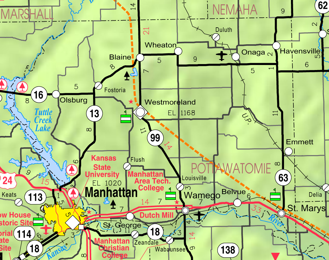
| 설명 | This map of Pottawatomie County, Kansas, USA, is copied at a resolution of 300 pixels/inch from the original PDF file. |
| 날짜 | |
| 출처 | Kansas 2005–2006 Official Transportation Map [1] (map legend) |
| 저자 | Designed and published by the Kansas Department of Transportation. |
| 저작권 (이 파일을 인용하기) |
라이선스
| 이 작품은 저작자인 Kansas Department of Transportation에 의해 퍼블릭 도메인으로 공개된 작품입니다. 이 공개 선언은 전 세계적으로 유효합니다. 만약 저작권의 포기가 법률적으로 가능하지 않은 경우, Kansas Department of Transportation은 이 작품을 법적으로 허용되는 한도 내에서 누구나 자유롭게 어떤 목적으로도 제한 없이 사용할 수 있도록 허용합니다.
|
This map is published by the Kansas Department of Transportation and is distributed to the public free of charge. KDOT makes no warranties, guarantees, or representations for accuracy of this information and assumes no liability for errors or omissions. Maps produced using tax payer dollars are free for public use.
파일 역사
날짜/시간 링크를 클릭하면 해당 시간의 파일을 볼 수 있습니다.
| 날짜/시간 | 섬네일 | 크기 | 사용자 | 설명 | |
|---|---|---|---|---|---|
| 현재 | 2006년 6월 10일 (토) 16:08 | | 1,046 × 828 (454 KB) | Moverton | Source: Kansas 2005-2006 Official Transportation Map {{PD-US}} |
이 파일을 사용하는 문서
다음 문서 1개가 이 파일을 사용하고 있습니다:
이 파일을 사용하고 있는 모든 위키의 문서 목록
다음 위키에서 이 파일을 사용하고 있습니다:
- azb.wikipedia.org에서 이 파일을 사용하고 있는 문서 목록
- en.wikipedia.org에서 이 파일을 사용하고 있는 문서 목록
- nl.wikipedia.org에서 이 파일을 사용하고 있는 문서 목록
- sh.wikipedia.org에서 이 파일을 사용하고 있는 문서 목록
- simple.wikipedia.org에서 이 파일을 사용하고 있는 문서 목록
- ur.wikipedia.org에서 이 파일을 사용하고 있는 문서 목록