
파일:China Liaoning relief location map.png
미리 보기 크기: 578 × 600 픽셀 다른 해상도: 231 × 240 픽셀 | 463 × 480 픽셀 | 740 × 768 픽셀 | 987 × 1,024 픽셀 | 2,218 × 2,301 픽셀
원본 파일 (2,218 × 2,301 픽셀, 파일 크기: 8.14 MB, MIME 종류: image/png)
| 설명 |
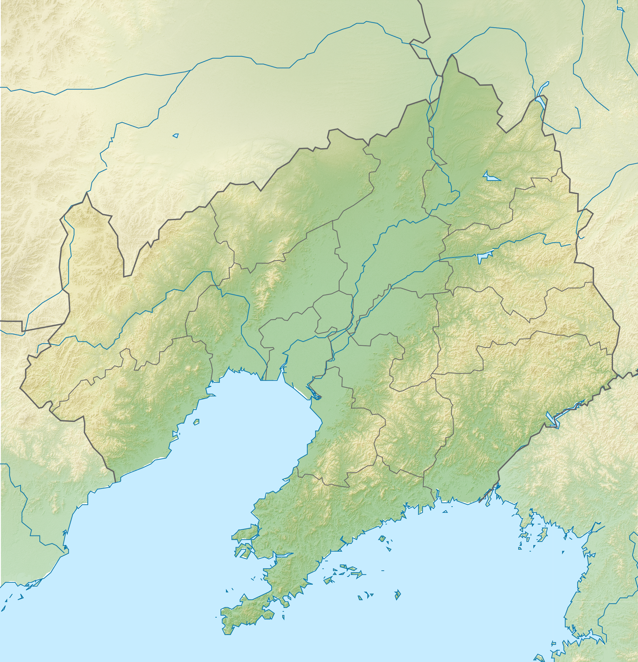
English: Location map of Liaoning, People's Republic of China Equirectangular projection, N/S stretching 141 %. True scale parallel: 45°00' N.
Geographic limits of the map:
|
| 날짜 | (UTC) |
| 출처 | |
| 저자 |
|
| 이 그림은 수정된 그림으로, 원래 그림에서 디지털 변환이 이루어진 그림입니다. 수정 사항 : {{{1}}}. 원래의 그림 : China Liaoning location map.svg:
|
나는 아래 작품의 저작권자로서, 이 저작물을 다음과 같은 라이선스로 배포합니다:
이 파일은 크리에이티브 커먼즈 저작자표시-동일조건변경허락 3.0 Unported 라이선스로 배포됩니다.
- 이용자는 다음의 권리를 갖습니다:
- 공유 및 이용 – 저작물의 복제, 배포, 전시, 공연 및 공중송신
- 재창작 – 저작물의 개작, 수정, 2차적저작물 창작
- 다음과 같은 조건을 따라야 합니다:
- 저작자표시 – 적절한 저작자 표시를 제공하고, 라이센스에 대한 링크를 제공하고, 변경사항이 있는지를 표시해야 합니다. 당신은 합리적인 방식으로 표시할 수 있지만, 어떤 방식으로든 사용권 허가자가 당신 또는 당신의 사용을 지지하는 방식으로 표시할 수 없습니다.
- 동일조건변경허락 – 만약 당신이 이 저작물을 리믹스 또는 변형하거나 이 저작물을 기반으로 제작하는 경우, 당신은 당신의 기여물을 원저작물과 동일하거나 호환 가능한 라이선스에 따라 배포하여야 합니다.

|
GNU 자유 문서 사용 허가서 1.2판 또는 자유 소프트웨어 재단에서 발행한 이후 판의 규정에 따라 본 문서를 복제하거나 개작 및 배포할 수 있습니다. 본 문서에는 변경 불가 부분이 없으며, 앞 표지 구절과 뒷 표지 구절도 없습니다. 본 사용 허가서의 전체 내용은 GNU 자유 문서 사용 허가서 부분에 포함되어 있습니다. |
이 라이선스 중에서 목적에 맞는 것을 선택하여 사용할 수 있습니다.
기존 올리기 기록
This image is a derivative work of the following images:
- File:China_Liaoning_location_map.svg licensed with Cc-by-sa-3.0, GFDL
- 2011-02-23T19:39:26Z Das steinerne Herz 140x145 (449373 Bytes) correction water layer
- 2011-02-23T19:33:26Z Das steinerne Herz 140x145 (448143 Bytes) completly new version
- 2011-02-12T16:41:36Z Das steinerne Herz 192x168 (2133267 Bytes) {{Information |Description ={{en|1=Location map of [[:en:Liaoning|Liaoning]], [[:en:People's Republic of China|People's Republic of China]] Equirectangular projection, N/S stretching 141 %. Geographic limits of the map: *
Uploaded with derivativeFX
파일 역사
날짜/시간 링크를 클릭하면 해당 시간의 파일을 볼 수 있습니다.
| 날짜/시간 | 섬네일 | 크기 | 사용자 | 설명 | |
|---|---|---|---|---|---|
| 현재 | 2011년 2월 24일 (목) 20:42 | | 2,218 × 2,301 (8.14 MB) | Das steinerne Herz | {{Information |Description={{en|1=Location map of Liaoning, People's Republic of China Equirectangular projection, N/S stretching 141 %. True scale parallel: 45°00' N. Geographic limits of the map: * |
이 파일을 사용하는 문서
다음 문서 1개가 이 파일을 사용하고 있습니다:
이 파일을 사용하고 있는 모든 위키의 문서 목록
다음 위키에서 이 파일을 사용하고 있습니다:
- ba.wikipedia.org에서 이 파일을 사용하고 있는 문서 목록
- de.wikipedia.org에서 이 파일을 사용하고 있는 문서 목록
- en.wikipedia.org에서 이 파일을 사용하고 있는 문서 목록
- Benxi
- Yixian Formation
- Qianshan National Park
- Liaoning Gymnasium
- Jiufotang Formation
- Tuchengzi Formation
- Sunjiawan Formation
- Tiaojishan Formation
- Module:Location map/data/China Liaoning/doc
- Anping Creek
- Lotus Lake Wetland Park
- Qinghe Reservoir
- Module:Location map/data/China Liaoning
- Module:Location map/data/Liaoning
- Chai River Reservoir
- User:Ty654/List of earthquakes from 1950-1999 exceeding magnitude 7+
- User:Ty654/List of earthquakes from 1940-1949 exceeding magnitude 6+
- Guanyinge Reservoir
- Module:Location map/data/China Liaoning topography
- Module:Location map/data/China Liaoning topography/doc
- es.wikipedia.org에서 이 파일을 사용하고 있는 문서 목록
- fr.wikipedia.org에서 이 파일을 사용하고 있는 문서 목록
- Golfe de Corée
- Mont Qian
- Siège de Port-Arthur
- Bataille de Mukden
- Modèle:Géolocalisation/Liaoning
- Bataille du Cha-Ho
- Mont Wunu
- Baie de Liaodong
- Massacre de Port-Arthur
- Formation de Tiaojishan
- Homme de Jinniushan
- Centrale d'Yingkou
- Centrale de Suizhong
- Bataille de Nanshan
- Bataille de Te-li-Ssu
- Bataille du col de Motien
- Bataille de Tashihchiao
- Bataille de Hsimucheng
- Bataille de Liaoyang
- Bataille de Sandepu
이 파일의 더 많은 사용 내역을 봅니다.