
파일:Warwickshire UK location map.svg

SVG 파일의 PNG 형식의 미리보기 크기: 493 × 599 픽셀. 다른 해상도: 197 × 240 픽셀 | 395 × 480 픽셀 | 632 × 768 픽셀 | 843 × 1,024 픽셀 | 1,686 × 2,048 픽셀 | 1,042 × 1,266 픽셀
원본 파일 (SVG 파일, 실제 크기 1,042 × 1,266 픽셀, 파일 크기: 2.18 MB)
| 설명 |
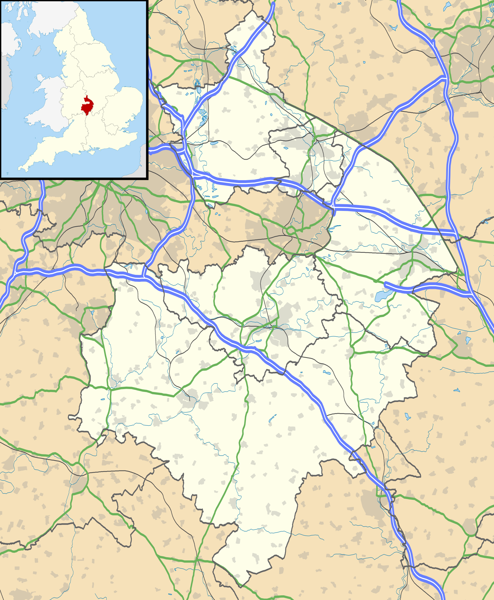
Map of Warwickshire, UK with the following information shown:
Equirectangular map projection on WGS 84 datum, with N/S stretched 160% Geographic limits:
|
| 날짜 | |
| 출처 |
|
| 저자 | Nilfanion, created using Ordnance Survey data |
| 저작권 (이 파일을 인용하기) |
이 파일은 크리에이티브 커먼즈 저작자표시-동일조건변경허락 3.0 Unported 라이선스로 배포됩니다. 저작자표시: Contains Ordnance Survey data © Crown copyright and database right
|
| 다른 버전 | File:Warwickshire UK district map (blank).svg - Blank map |
.svg)
파일 역사
날짜/시간 링크를 클릭하면 해당 시간의 파일을 볼 수 있습니다.
| 날짜/시간 | 섬네일 | 크기 | 사용자 | 설명 | |
|---|---|---|---|---|---|
| 현재 | 2010년 9월 27일 (월) 04:17 | | 1,042 × 1,266 (2.18 MB) | Nilfanion | {{Information |Description=Map of Warwickshire, UK with the following information shown: *Administrative borders *Coastline, lakes and rivers *Roads and railways *Urban areas Equirectangular map projection on WGS 84 datum, with N/S str |
이 파일을 사용하는 문서
다음 문서 1개가 이 파일을 사용하고 있습니다:
이 파일을 사용하고 있는 모든 위키의 문서 목록
다음 위키에서 이 파일을 사용하고 있습니다:
- ar.wikipedia.org에서 이 파일을 사용하고 있는 문서 목록
- bg.wikipedia.org에서 이 파일을 사용하고 있는 문서 목록
- ceb.wikipedia.org에서 이 파일을 사용하고 있는 문서 목록
- en.wikipedia.org에서 이 파일을 사용하고 있는 문서 목록
- Kenilworth Castle
- Stratford-upon-Avon
- Kenilworth
- Rugby, Warwickshire
- Battle of Edgehill
- Napton on the Hill
- Warwick Castle
- Leamington Spa
- Nuneaton
- Southam
- Warwick
- Bedworth
- Atherstone
- Mancetter
- Ryton-on-Dunsmore
- Alcester
- Shipston-on-Stour
- Dunchurch
- Warwickshire
- Wellesbourne Watermill
- Whitnash
- Bulkington
- Kineton
- Studley, Warwickshire
- Brinklow
- Monks Kirby
- Gaydon
- Leek Wootton
- Bodymoor Heath
- Compton Wynyates
- Long Compton
- Ansty, Warwickshire
- Coleshill, Warwickshire
- Broadwell, Warwickshire
- Bidford-on-Avon
- Rugby Radio Station
- Newbold-on-Avon
- Kingsbury, Warwickshire
- Binley Woods
- Long Lawford
- Willoughby, Warwickshire
- Wibtoft
- Wolston
- Newton, Warwickshire
- Burton Green
이 파일의 더 많은 사용 내역을 봅니다.