
파일:Satellite image of Liechtenstein on Landsat 7.jpg
미리 보기 크기: 324 × 599 픽셀 다른 해상도: 130 × 240 픽셀 | 638 × 1,180 픽셀
원본 파일 (638 × 1,180 픽셀, 파일 크기: 187 KB, MIME 종류: image/jpeg)
파일 설명
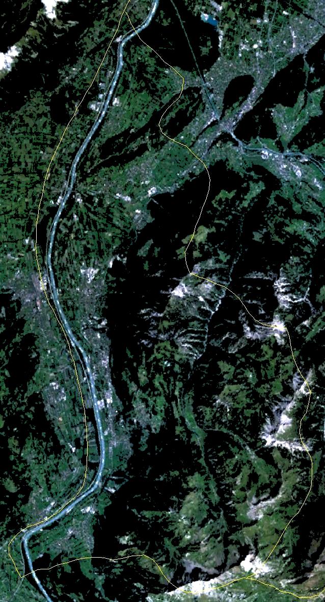
| 설명 |
English: Satellite image of Liechtenstein on Landsat 7 with approximate borders. |
| 날짜 | 2005년 9월 28일 (upload date) |
| 출처 | Satellite imagery taken by screenshot from NASA World Wind software |
| 저자 | NASA |
| 대상 위치 | | 이 지역의 다른 사진을 보기: OpenStreetMap |
|---|
라이선스
| This image is in the public domain because it is a screenshot from NASA’s globe software World Wind using a public domain layer, such as Blue Marble, MODIS, Landsat, SRTM, USGS or GLOBE.
|
 |
파일 역사
날짜/시간 링크를 클릭하면 해당 시간의 파일을 볼 수 있습니다.
| 날짜/시간 | 섬네일 | 크기 | 사용자 | 설명 | |
|---|---|---|---|---|---|
| 현재 | 2005년 12월 1일 (목) 02:06 | | 638 × 1,180 (187 KB) | Wiki-vr | lighter image |
| 2005년 9월 28일 (수) 21:08 |  | 638 × 1,180 (157 KB) | Hautala | forgot to crop, now cropped | |
| 2005년 9월 28일 (수) 21:02 |  | 1,600 × 1,200 (329 KB) | Hautala | {{PD-USGov-NASA}} Satellite image of Liechtenstein from NASA World Wind on Landsat 7 with approximate borders. World Wind link: worldwind://goto/world=Earth&lat=47.16425&lon=9.54666&alt=34890 |
이 파일을 사용하는 문서
다음 문서 1개가 이 파일을 사용하고 있습니다:
이 파일을 사용하고 있는 모든 위키의 문서 목록
다음 위키에서 이 파일을 사용하고 있습니다:
- af.wikipedia.org에서 이 파일을 사용하고 있는 문서 목록
- cs.wikipedia.org에서 이 파일을 사용하고 있는 문서 목록
- de.wikipedia.org에서 이 파일을 사용하고 있는 문서 목록
- en.wikipedia.org에서 이 파일을 사용하고 있는 문서 목록
- it.wikibooks.org에서 이 파일을 사용하고 있는 문서 목록