
파일:PortlandBillAndChesilBeach(Landsat).jpg

미리 보기 크기: 618 × 600 픽셀 다른 해상도: 247 × 240 픽셀 | 495 × 480 픽셀 | 940 × 912 픽셀
원본 파일 (940 × 912 픽셀, 파일 크기: 372 KB, MIME 종류: image/jpeg)
.jpg?uselang=ko)
| 설명 |
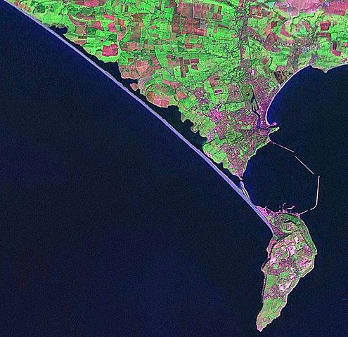
English: Screenshot from World Wind software displaying NASA Landsat imagery. The website says "The Landsat Global Mosaic, Blue Marble, and the USGS raster maps and images are all Public Domain." (http://www.worldwindcentral.com/wiki/World_Wind_FAQ) |
| 출처 | Satellite imagery taken from NASA World Wind software (by screenshot) |
| 저자 | 사진: NASA |
라이선스
| This image is in the public domain because it is a screenshot from NASA’s globe software World Wind using a public domain layer, such as Blue Marble, MODIS, Landsat, SRTM, USGS or GLOBE.
|
 |
기존 올리기 기록
The original description page was here. All following user names refer to en.wikipedia.
- 2006-04-21 07:42 Euchiasmus 940×912× (381170 bytes) Screenshot from World Wind software displaying NASA Landsat imagery. The website says "The Landsat Global Mosaic, Blue Marble, and the USGS raster maps and images are all Public Domain." (http://www.worldwindcentral.com/wiki/World_Wind_FAQ)
파일 역사
날짜/시간 링크를 클릭하면 해당 시간의 파일을 볼 수 있습니다.
| 날짜/시간 | 섬네일 | 크기 | 사용자 | 설명 | |
|---|---|---|---|---|---|
| 현재 | 2009년 8월 13일 (목) 23:24 | | 940 × 912 (372 KB) | Kordas | {{Information |Description={{en|Screenshot from World Wind software displaying NASA Landsat imagery. The website says "The Landsat Global Mosaic, Blue Marble, and the USGS raster maps and images are all Public Domain." (http://www.worldwindcentral.com/wik |
이 파일을 사용하는 문서
다음 문서 1개가 이 파일을 사용하고 있습니다:
이 파일을 사용하고 있는 모든 위키의 문서 목록
다음 위키에서 이 파일을 사용하고 있습니다:
- br.wikipedia.org에서 이 파일을 사용하고 있는 문서 목록
- de.wikipedia.org에서 이 파일을 사용하고 있는 문서 목록
- en.wikipedia.org에서 이 파일을 사용하고 있는 문서 목록
- et.wikipedia.org에서 이 파일을 사용하고 있는 문서 목록
- simple.wikipedia.org에서 이 파일을 사용하고 있는 문서 목록
.jpg)