
파일:Marlborough nz location.png
최대 해상도입니다.
Marlborough_nz_location.png (405 × 590 픽셀, 파일 크기: 7 KB, MIME 종류: image/png)
파일 역사
날짜/시간 링크를 클릭하면 해당 시간의 파일을 볼 수 있습니다.
| 날짜/시간 | 섬네일 | 크기 | 사용자 | 설명 | |
|---|---|---|---|---|---|
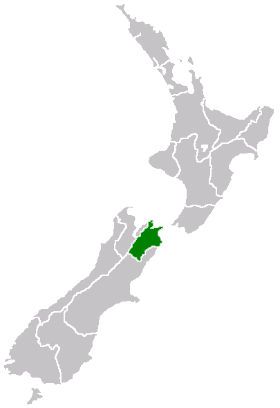
| 현재 | 2005년 4월 27일 (수) 16:40 | | 405 × 590 (7 KB) | Domie~commonswiki | Region of New Zealand, position on the map {{PD}} Category:Maps of New Zealand |
이 파일을 사용하는 문서
다음 문서 1개가 이 파일을 사용하고 있습니다:
이 파일을 사용하고 있는 모든 위키의 문서 목록
다음 위키에서 이 파일을 사용하고 있습니다:
- en.wikipedia.org에서 이 파일을 사용하고 있는 문서 목록
- Port Gore
- Kenepuru Sound
- Cape Campbell
- Tapuae-o-Uenuku
- Long Island (Marlborough)
- RNZAF Base Woodbourne
- Fairy Bay
- Tawero Point
- Allports Island
- Amerikiwhati Island
- Anatakupu Island
- Wharanui
- Template:Marlborough-geo-stub
- Moenui
- Cape Jackson, New Zealand
- Penzance Bay
- Maungatapu
- Koromiko, New Zealand
- West Head
- Blumine Island
- Wards Pass
- Rangitoto Islands
- Chetwode Islands
- Marlborough Sounds Important Bird Areas
- Forsyth Island (New Zealand)
- Dillon Cone
- Whangamoa Saddle
- Bryant Range
- Burleigh, New Zealand
- Croisilles Harbour
- Kaikoura County
- Marlborough County
- Bird Island (Marlborough)
- Bottle Rock
- Budges Island
- Brown River (Marlborough)
- fi.wikipedia.org에서 이 파일을 사용하고 있는 문서 목록
- gd.wikipedia.org에서 이 파일을 사용하고 있는 문서 목록
- hi.wikipedia.org에서 이 파일을 사용하고 있는 문서 목록
- ja.wikipedia.org에서 이 파일을 사용하고 있는 문서 목록
- ms.wikipedia.org에서 이 파일을 사용하고 있는 문서 목록
- nn.wikipedia.org에서 이 파일을 사용하고 있는 문서 목록
- pl.wikipedia.org에서 이 파일을 사용하고 있는 문서 목록
- ru.wikipedia.org에서 이 파일을 사용하고 있는 문서 목록
- sh.wikipedia.org에서 이 파일을 사용하고 있는 문서 목록
- simple.wikipedia.org에서 이 파일을 사용하고 있는 문서 목록
- sv.wikipedia.org에서 이 파일을 사용하고 있는 문서 목록
- uk.wikipedia.org에서 이 파일을 사용하고 있는 문서 목록
- ur.wikipedia.org에서 이 파일을 사용하고 있는 문서 목록
- www.wikidata.org에서 이 파일을 사용하고 있는 문서 목록
이 파일의 더 많은 사용 내역을 봅니다.