
파일:Map showing Falls Church city, Virginia.png
최대 해상도입니다.
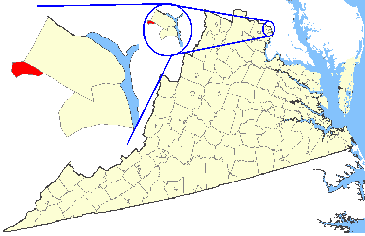
Map_showing_Falls_Church_city,_Virginia.png (750 × 485 픽셀, 파일 크기: 35 KB, MIME 종류: image/png)
| 설명 | Maps of counties in Virginia |
| 출처 | http://nationalatlas.gov/ |
| 저자 | |
| 저작권 (이 파일을 인용하기) |
Original work of the US Federal Government - public domain |
This map was obtained from an edition of the National Atlas of the United States. Like almost all works of the U.S. federal government, works from the National Atlas are in the public domain in the United States.
Online access: NationalAtlas.gov | 1970 print edition: Library of Congress, Perry-Castañeda Library
|
파일 역사
날짜/시간 링크를 클릭하면 해당 시간의 파일을 볼 수 있습니다.
| 날짜/시간 | 섬네일 | 크기 | 사용자 | 설명 | |
|---|---|---|---|---|---|
| 현재 | 2007년 2월 19일 (월) 10:27 | | 750 × 485 (35 KB) | Rfc1394 | {{Information| |Description=Maps of counties in Virginia |Source=http://nationalatlas.gov/ |Date= |Author= |Permission=Original work of the US Federal Government - public domain |other_versions= }} {{PD-USGov}} Category:Virginia maps |
이 파일을 사용하는 문서
다음 문서 1개가 이 파일을 사용하고 있습니다:
이 파일을 사용하고 있는 모든 위키의 문서 목록
다음 위키에서 이 파일을 사용하고 있습니다:
- azb.wikipedia.org에서 이 파일을 사용하고 있는 문서 목록
- en.wikipedia.org에서 이 파일을 사용하고 있는 문서 목록
- fi.wikipedia.org에서 이 파일을 사용하고 있는 문서 목록
- it.wikipedia.org에서 이 파일을 사용하고 있는 문서 목록
- nl.wikipedia.org에서 이 파일을 사용하고 있는 문서 목록
- no.wikipedia.org에서 이 파일을 사용하고 있는 문서 목록
- tr.wikipedia.org에서 이 파일을 사용하고 있는 문서 목록
- zh.wikipedia.org에서 이 파일을 사용하고 있는 문서 목록