
파일:Map of Indiana highlighting Saint Joseph County.svg

SVG 파일의 PNG 형식의 미리보기 크기: 391 × 599 픽셀. 다른 해상도: 156 × 240 픽셀 | 313 × 480 픽셀 | 501 × 768 픽셀 | 668 × 1,024 픽셀 | 1,337 × 2,048 픽셀 | 2,887 × 4,423 픽셀
원본 파일 (SVG 파일, 실제 크기 2,887 × 4,423 픽셀, 파일 크기: 56 KB)
파일 설명
| 설명 |
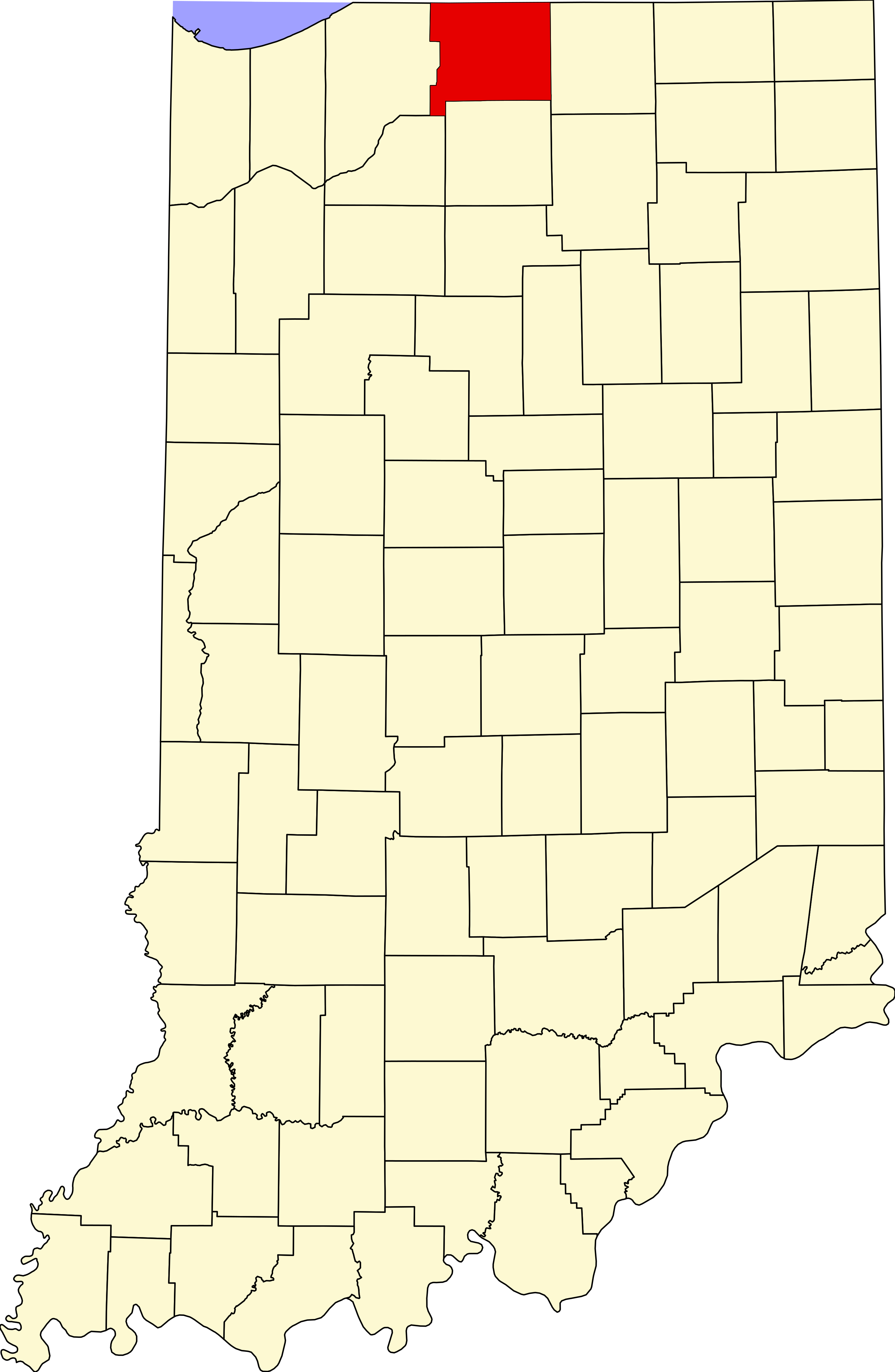
English: This is a locator map showing Saint Joseph County in Indiana. For more information, see Commons:United States county locator maps. |
| 날짜 | |
| 출처 |
자작: English: The maps use data from nationalatlas.gov, specifically countyp020.tar.gz on the Raw Data Download page. The maps also use state outline data from statesp020.tar.gz. The Florida maps use hydrogm020.tar.gz to display Lake Okeechobee. |
| 저자 | David Benbennick |
라이선스
| 나는 이 작품의 저작권자로서, 이 작품을 퍼블릭 도메인으로 모두에게 공개합니다. 이 공개 선언은 전 세계적으로 유효합니다. 만약 저작권의 포기가 법률적으로 가능하지 않은 경우, 나는 이 작품을 법적으로 허용되는 한도 내에서 누구나 자유롭게 어떤 목적으로도 제한없이 사용할 수 있도록 허용합니다. |
파일 역사
날짜/시간 링크를 클릭하면 해당 시간의 파일을 볼 수 있습니다.
| 날짜/시간 | 섬네일 | 크기 | 사용자 | 설명 | |
|---|---|---|---|---|---|
| 현재 | 2006년 2월 12일 (일) 21:12 | | 2,887 × 4,423 (56 KB) | David Benbennick | {{subst:User:Dbenbenn/clm|county=Saint Joseph County|state=Indiana}} |
이 파일을 사용하는 문서
다음 문서 2개가 이 파일을 사용하고 있습니다:
이 파일을 사용하고 있는 모든 위키의 문서 목록
다음 위키에서 이 파일을 사용하고 있습니다:
- ar.wikipedia.org에서 이 파일을 사용하고 있는 문서 목록
- cdo.wikipedia.org에서 이 파일을 사용하고 있는 문서 목록
- ceb.wikipedia.org에서 이 파일을 사용하고 있는 문서 목록
- ce.wikipedia.org에서 이 파일을 사용하고 있는 문서 목록
- cy.wikipedia.org에서 이 파일을 사용하고 있는 문서 목록
- de.wikipedia.org에서 이 파일을 사용하고 있는 문서 목록
- en.wikipedia.org에서 이 파일을 사용하고 있는 문서 목록
- List of counties in Indiana
- St. Joseph County, Indiana
- Georgetown, St. Joseph County, Indiana
- Granger, Indiana
- Gulivoire Park, Indiana
- Indian Village, Indiana
- Lakeville, Indiana
- Mishawaka, Indiana
- New Carlisle, Indiana
- North Liberty, Indiana
- Osceola, Indiana
- Roseland, Indiana
- South Bend, Indiana
- Walkerton, Indiana
- Notre Dame, Indiana
- Wyatt, Indiana
- LaSalle Trail
- Centre Township, St. Joseph County, Indiana
- Clay Township, St. Joseph County, Indiana
- German Township, St. Joseph County, Indiana
- Greene Township, St. Joseph County, Indiana
- Harris Township, St. Joseph County, Indiana
- Liberty Township, St. Joseph County, Indiana
- Lincoln Township, St. Joseph County, Indiana
- Madison Township, St. Joseph County, Indiana
- Olive Township, St. Joseph County, Indiana
- Penn Township, St. Joseph County, Indiana
- Portage Township, St. Joseph County, Indiana
- Union Township, St. Joseph County, Indiana
- Warren Township, St. Joseph County, Indiana
- Template:St. Joseph County, Indiana
- Template:StJosephCountyIN-geo-stub
- Westfield, St. Joseph County, Indiana
- Crumstown, Indiana
이 파일의 더 많은 사용 내역을 봅니다.