
파일:Cheshire UK location map.svg

SVG 파일의 PNG 형식의 미리보기 크기: 778 × 599 픽셀. 다른 해상도: 312 × 240 픽셀 | 623 × 480 픽셀 | 997 × 768 픽셀 | 1,280 × 986 픽셀 | 2,560 × 1,973 픽셀 | 1,425 × 1,098 픽셀
원본 파일 (SVG 파일, 실제 크기 1,425 × 1,098 픽셀, 파일 크기: 2.23 MB)
| 설명 |
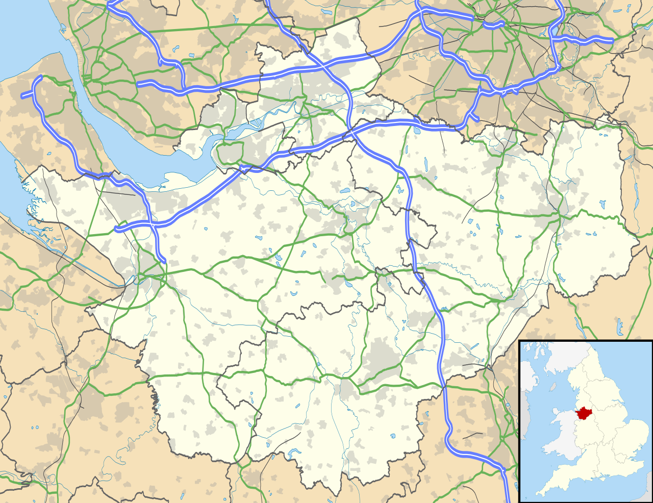
Map of Cheshire, UK with the following information shown:
Equirectangular map projection on WGS 84 datum, with N/S stretched 165% Geographic limits:
|
| 날짜 | |
| 출처 |
|
| 저자 | Nilfanion, created using Ordnance Survey data |
| 저작권 (이 파일을 인용하기) |
이 파일은 크리에이티브 커먼즈 저작자표시-동일조건변경허락 3.0 Unported 라이선스로 배포됩니다. 저작자표시: Contains Ordnance Survey data © Crown copyright and database right
|
| 다른 버전 | File:Cheshire UK district map (blank).svg - Blank map |
.svg)
파일 역사
날짜/시간 링크를 클릭하면 해당 시간의 파일을 볼 수 있습니다.
| 날짜/시간 | 섬네일 | 크기 | 사용자 | 설명 | |
|---|---|---|---|---|---|
| 현재 | 2010년 9월 27일 (월) 03:42 | | 1,425 × 1,098 (2.23 MB) | Nilfanion | {{Information |Description=Map of Cheshire, UK with the following information shown: *Administrative borders *Coastline, lakes and rivers *Roads and railways *Urban areas Equirectangular map projection on WGS 84 datum, with N/S stretched 1 |
이 파일을 사용하는 문서
다음 문서 1개가 이 파일을 사용하고 있습니다:
이 파일을 사용하고 있는 모든 위키의 문서 목록
다음 위키에서 이 파일을 사용하고 있습니다:
- ar.wikipedia.org에서 이 파일을 사용하고 있는 문서 목록
- arz.wikipedia.org에서 이 파일을 사용하고 있는 문서 목록
- bg.wikipedia.org에서 이 파일을 사용하고 있는 문서 목록
- bn.wikipedia.org에서 이 파일을 사용하고 있는 문서 목록
- ca.wikipedia.org에서 이 파일을 사용하고 있는 문서 목록
- ceb.wikipedia.org에서 이 파일을 사용하고 있는 문서 목록
- diq.wikipedia.org에서 이 파일을 사용하고 있는 문서 목록
- el.wikipedia.org에서 이 파일을 사용하고 있는 문서 목록
- en.wikipedia.org에서 이 파일을 사용하고 있는 문서 목록
- Cheshire
- Peckforton Castle
- Aldford
- Bunbury, Cheshire
- Chester
- Audlem
- Beeston, Cheshire
- Bollington
- Chester Castle
- Congleton
- Disley
- Lyme Park
- Farndon, Cheshire
- Frodsham
- Gawsworth
- Gawsworth Old Hall
- Great Budworth
- Marston, Cheshire
- Knutsford
- Langley, Cheshire
- Crewe
- Kelsall
- Nantwich
- Runcorn
- Latchford, Cheshire
- Macclesfield
- Woolston, Cheshire
- Daresbury
- Great Sankey
- Winwick, Cheshire
- Penketh
- Ellesmere Port
- Neston
- Croft, Cheshire
- Alsager
- Northwich
- Tattenhall
- Lymm
- Padgate
- Birchwood, Cheshire
이 파일의 더 많은 사용 내역을 봅니다.