
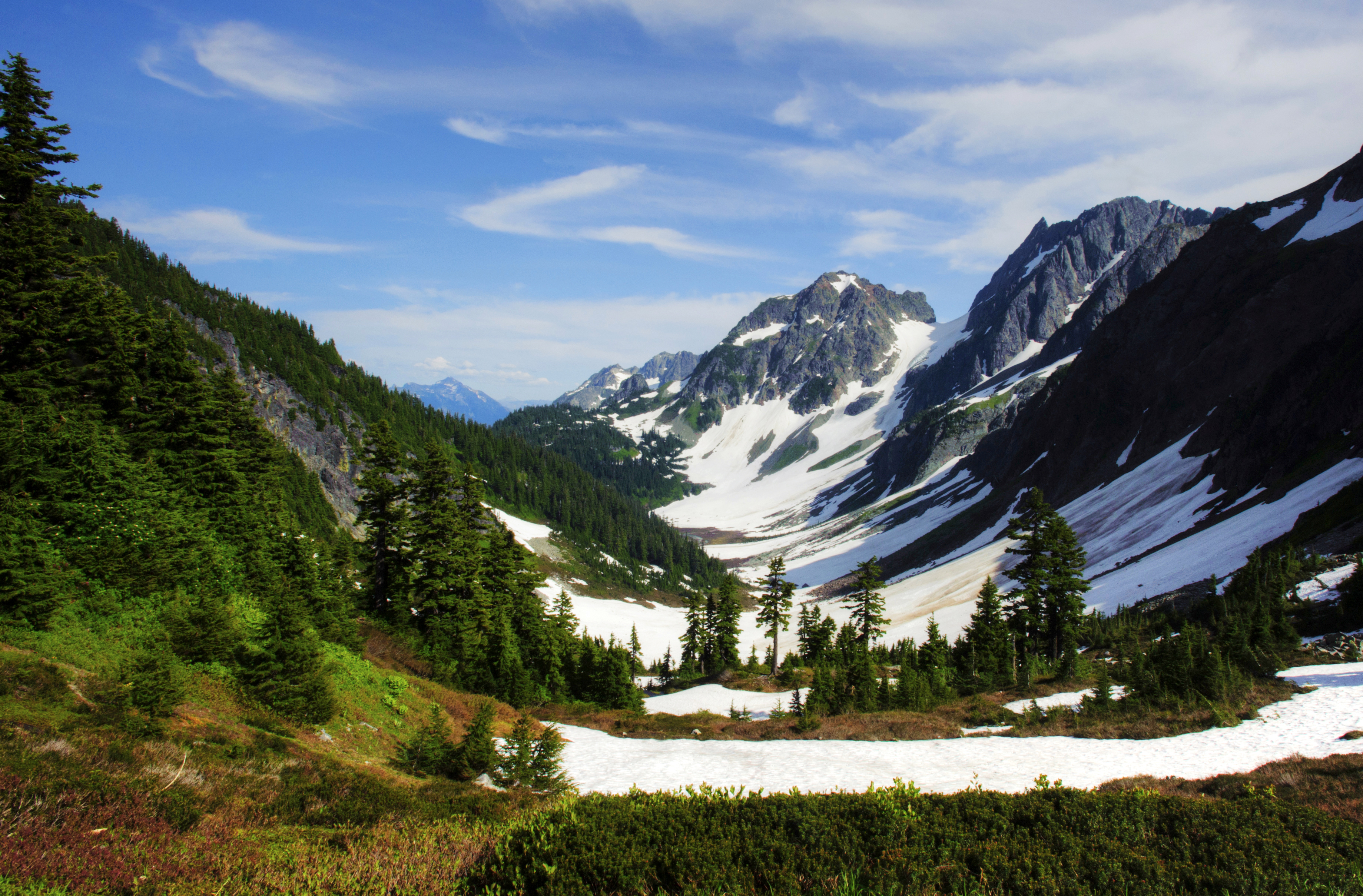
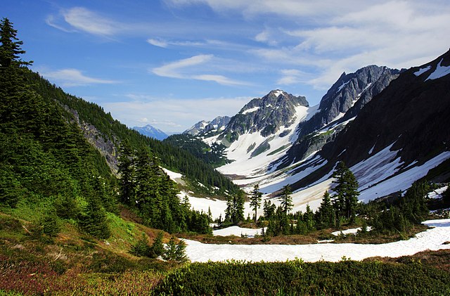
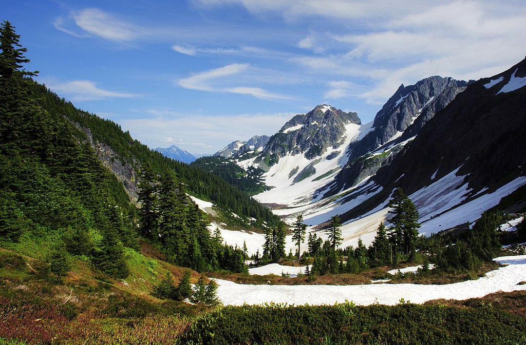
파일:Cascade Pass and Pelton Basin.jpg
미리 보기 크기: 800 × 526 픽셀 다른 해상도: 320 × 210 픽셀 | 640 × 421 픽셀 | 1,024 × 673 픽셀 | 1,280 × 842 픽셀 | 2,560 × 1,683 픽셀 | 3,678 × 2,418 픽셀
원본 파일 (3,678 × 2,418 픽셀, 파일 크기: 7.02 MB, MIME 종류: image/jpeg)
파일 설명
| 설명 |
English: Cascade Pass and Pelton Basin |
| 날짜 | 촬영 날짜: 2012년 7월 29일, 16:34:44 |
| 출처 | National Park Service public domain [1] |
| 저자 | National Park Service/Deby Dixon |
| 카메라 위치 | | 이 지역의 다른 사진을 보기: OpenStreetMap |
|---|
라이선스
| This image or media file contains material based on a work of a National Park Service employee, created as part of that person's official duties. As a work of the U.S. federal government, such work is in the public domain in the United States. See the NPS website and NPS copyright policy for more information. |
| 주석 | 이 이미지에는 주석이 있습니다: 공용에서 주석을 보기 |
파일 역사
날짜/시간 링크를 클릭하면 해당 시간의 파일을 볼 수 있습니다.
| 날짜/시간 | 섬네일 | 크기 | 사용자 | 설명 | |
|---|---|---|---|---|---|
| 현재 | 2018년 5월 18일 (금) 23:54 | | 3,678 × 2,418 (7.02 MB) | MONGO | User created page with UploadWizard |
이 파일을 사용하는 문서
다음 문서 1개가 이 파일을 사용하고 있습니다:
이 파일을 사용하고 있는 모든 위키의 문서 목록
다음 위키에서 이 파일을 사용하고 있습니다:
- ar.wikipedia.org에서 이 파일을 사용하고 있는 문서 목록
- ban.wikipedia.org에서 이 파일을 사용하고 있는 문서 목록
- en.wikipedia.org에서 이 파일을 사용하고 있는 문서 목록
- es.wikipedia.org에서 이 파일을 사용하고 있는 문서 목록
- et.wikipedia.org에서 이 파일을 사용하고 있는 문서 목록
- simple.wikipedia.org에서 이 파일을 사용하고 있는 문서 목록
- vi.wikipedia.org에서 이 파일을 사용하고 있는 문서 목록