
파일:Buckinghamshire UK location map.svg

SVG 파일의 PNG 형식의 미리보기 크기: 507 × 600 픽셀. 다른 해상도: 203 × 240 픽셀 | 406 × 480 픽셀 | 649 × 768 픽셀 | 865 × 1,024 픽셀 | 1,731 × 2,048 픽셀 | 1,070 × 1,266 픽셀
원본 파일 (SVG 파일, 실제 크기 1,070 × 1,266 픽셀, 파일 크기: 2.13 MB)
| 설명 |
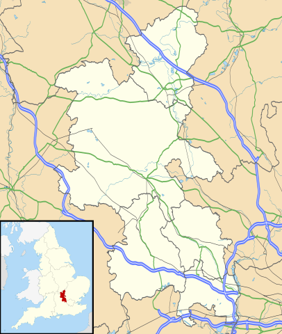
Map of Buckinghamshire, UK with the following information shown:
Equirectangular map projection on WGS 84 datum, with N/S stretched 160% Geographic limits:
|
| 날짜 | |
| 출처 |
|
| 저자 | Nilfanion, created using Ordnance Survey data |
| 저작권 (이 파일을 인용하기) |
이 파일은 크리에이티브 커먼즈 저작자표시-동일조건변경허락 3.0 Unported 라이선스로 배포됩니다. 저작자표시: Contains Ordnance Survey data © Crown copyright and database right
|
| 다른 버전 | File:Buckinghamshire UK district map (blank).svg - Blank map |
.svg)
파일 역사
날짜/시간 링크를 클릭하면 해당 시간의 파일을 볼 수 있습니다.
| 날짜/시간 | 섬네일 | 크기 | 사용자 | 설명 | |
|---|---|---|---|---|---|
| 현재 | 2010년 9월 27일 (월) 03:41 | | 1,070 × 1,266 (2.13 MB) | Nilfanion | {{Information |Description=Map of Buckinghamshire, UK with the following information shown: *Administrative borders *Coastline, lakes and rivers *Roads and railways *Urban areas Equirectangular map projection on WGS 84 datum, with N |
이 파일을 사용하는 문서
다음 문서 1개가 이 파일을 사용하고 있습니다:
이 파일을 사용하고 있는 모든 위키의 문서 목록
다음 위키에서 이 파일을 사용하고 있습니다:
- ar.wikipedia.org에서 이 파일을 사용하고 있는 문서 목록
- bg.wikipedia.org에서 이 파일을 사용하고 있는 문서 목록
- ceb.wikipedia.org에서 이 파일을 사용하고 있는 문서 목록
- cs.wikipedia.org에서 이 파일을 사용하고 있는 문서 목록
- en.wikipedia.org에서 이 파일을 사용하고 있는 문서 목록
- Amersham
- Milton Keynes
- High Wycombe
- Aylesbury
- Buckingham
- Maids Moreton
- Southcourt
- West Wycombe
- Chesham
- Quarrendon
- Bedgrove
- Stoke Mandeville
- Great and Little Kimble cum Marsh
- Cheddington
- New Zealand, Buckinghamshire
- California, Buckinghamshire
- Aston Clinton
- Beaconsfield
- Bierton
- Wendover
- Broughton, Aylesbury
- Great and Little Hampden
- Winslow, Buckinghamshire
- Cliveden
- Amersham station
- RAF Halton
- Long Crendon
- Shabbington
- Addington, Buckinghamshire
- Adstock
- Monks Risborough
- Princes Risborough
- Calvert, Buckinghamshire
- Woughton (parish)
- Olney, Buckinghamshire
- Hughenden Valley
- Castlethorpe
- Watermead, Buckinghamshire
- Caldecote, Buckinghamshire
- Whiteleaf, Buckinghamshire
- Newport Pagnell
- Tylers Green
- Dorney
- Stowe, Buckinghamshire
이 파일의 더 많은 사용 내역을 봅니다.