
파일:Blank political map of Europe.png
최대 해상도입니다.
Blank_political_map_of_Europe.png (680 × 520 픽셀, 파일 크기: 161 KB, MIME 종류: image/png)
파일 설명
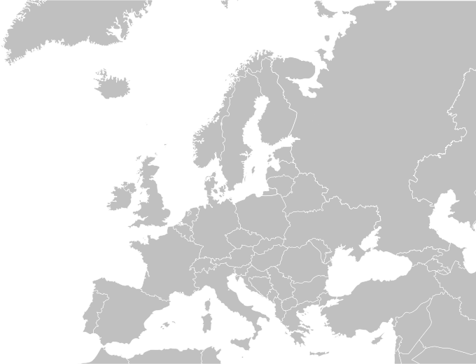
| 설명 |
English: Blank political map of Europe.
Español: Mapa politica de Europa. |
| 날짜 | 04/09/2009 |
| 출처 | Wikimedia Commons |
| 저자 | Carlosblh |
| 다른 버전 |
|
라이선스
이 파일은 크리에이티브 커먼즈 저작자표시-동일조건변경허락 3.0 Unported 라이선스로 배포됩니다.
- 이용자는 다음의 권리를 갖습니다:
- 공유 및 이용 – 저작물의 복제, 배포, 전시, 공연 및 공중송신
- 재창작 – 저작물의 개작, 수정, 2차적저작물 창작
- 다음과 같은 조건을 따라야 합니다:
- 저작자표시 – 적절한 저작자 표시를 제공하고, 라이센스에 대한 링크를 제공하고, 변경사항이 있는지를 표시해야 합니다. 당신은 합리적인 방식으로 표시할 수 있지만, 어떤 방식으로든 사용권 허가자가 당신 또는 당신의 사용을 지지하는 방식으로 표시할 수 없습니다.
- 동일조건변경허락 – 만약 당신이 이 저작물을 리믹스 또는 변형하거나 이 저작물을 기반으로 제작하는 경우, 당신은 당신의 기여물을 원저작물과 동일하거나 호환 가능한 라이선스에 따라 배포하여야 합니다.
파일 역사
날짜/시간 링크를 클릭하면 해당 시간의 파일을 볼 수 있습니다.
| 날짜/시간 | 섬네일 | 크기 | 사용자 | 설명 | |
|---|---|---|---|---|---|
| 현재 | 2015년 6월 1일 (월) 00:30 | | 680 × 520 (161 KB) | Cmdrjameson | Compressed with pngout. Reduced by 66kB (29% decrease). |
| 2010년 5월 27일 (목) 12:57 |  | 680 × 520 (227 KB) | Mclay1 | Removed borders in Sweden and Russia | |
| 2009년 9월 4일 (금) 14:56 |  | 680 × 520 (119 KB) | Carlosblh | {{Information |Description={{en|1=Blank map of Europe.}} {{es|1=Mapa de Europa.}} |Source=Wikimedia Commons |Author=Carlosblh |Date=04/09/2009 |Permission= |other_versions=120px }} [[Category:Maps o |
이 파일을 사용하는 문서
이 파일을 사용하는 문서가 없습니다.
이 파일을 사용하고 있는 모든 위키의 문서 목록
다음 위키에서 이 파일을 사용하고 있습니다:
- en.wikipedia.org에서 이 파일을 사용하고 있는 문서 목록