
파일:442x556-Carte-Région-Aquitaine-R.jpg
최대 해상도입니다.
442x556-Carte-Région-Aquitaine-R.jpg (442 × 556 픽셀, 파일 크기: 69 KB, MIME 종류: image/jpeg)
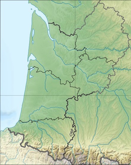
| 설명 | Carte Region Aquitaine relief | ||||
| 날짜 | Wikisoft* @@@-fr 08:29, 30 October 2010 (UTC) | ||||
| 출처 | SRTM Découpage carte Image:France_relief_location_map.jpg Sting Wikisoft* @@@-fr 08:29, 30 October 2010 (UTC) | ||||
| 저자 | Wikisoft* @@@-fr 08:29, 30 October 2010 (UTC) | ||||
| 저작권 (이 파일을 인용하기) |
이 파일은 크리에이티브 커먼즈 저작자표시-동일조건변경허락 1.0 일반 라이선스로 배포됩니다.
|
||||
| 다른 버전 | fr:Modèle:Géolocalisation/Aquitaine |

파일 역사
날짜/시간 링크를 클릭하면 해당 시간의 파일을 볼 수 있습니다.
| 날짜/시간 | 섬네일 | 크기 | 사용자 | 설명 | |
|---|---|---|---|---|---|
| 현재 | 2010년 10월 30일 (토) 17:29 | | 442 × 556 (69 KB) | Wikisoft* | {{Information |Description=Carte Region Aquitaine relief |Source=SRTM Découpage carte Image:France_relief_locatio_map.jpg Sting ~~~~ |Date=~~~~ |Author=~~~~ |Permission={{GFDL-GMT}}{{CC-BY-SA}} |other_versions=[[:fr:Modèle:Géolocalisation/Aqui |
이 파일을 사용하는 문서
다음 문서 1개가 이 파일을 사용하고 있습니다:
이 파일을 사용하고 있는 모든 위키의 문서 목록
다음 위키에서 이 파일을 사용하고 있습니다:
- ar.wikipedia.org에서 이 파일을 사용하고 있는 문서 목록
- bg.wikipedia.org에서 이 파일을 사용하고 있는 문서 목록
- ceb.wikipedia.org에서 이 파일을 사용하고 있는 문서 목록
- ce.wikipedia.org에서 이 파일을 사용하고 있는 문서 목록
- cv.wikipedia.org에서 이 파일을 사용하고 있는 문서 목록
- cy.wikipedia.org에서 이 파일을 사용하고 있는 문서 목록
- de.wikipedia.org에서 이 파일을 사용하고 있는 문서 목록
- el.wikipedia.org에서 이 파일을 사용하고 있는 문서 목록
- en.wikipedia.org에서 이 파일을 사용하고 있는 문서 목록
- War of Saint-Sardos
- Battle of Auberoche
- Le Moustier
- Font-de-Gaume
- Grotte de Cussac
- Battle of Bergerac
- Fontéchevade
- Abri de la Madeleine
- Rouffignac Cave
- Raymonden
- Rochereil
- Les Combarelles
- User:Newm30/Draft2
- Laugerie-Basse
- La Ferrassie
- Module:Location map/data/France Aquitaine/doc
- Abri Pataud
- User:Michael!/Project:Location map templates/France
- Combe Grenal
- Marsoulas Cave
- Pair-non-Pair
- Cap Blanc rock shelter
- User:Gog the Mild/Misc
- Module:Location map/data/France Aquitaine
- Gascon campaign (1294–1303)
- Siege of Aiguillon
- eo.wikipedia.org에서 이 파일을 사용하고 있는 문서 목록
- es.wikipedia.org에서 이 파일을 사용하고 있는 문서 목록
- fo.wikipedia.org에서 이 파일을 사용하고 있는 문서 목록
- fr.wikipedia.org에서 이 파일을 사용하고 있는 문서 목록
- gl.wikipedia.org에서 이 파일을 사용하고 있는 문서 목록
이 파일의 더 많은 사용 내역을 봅니다.