
파일:South Yorkshire UK location map.svg

SVG 파일의 PNG 형식의 미리보기 크기: 800 × 547 픽셀. 다른 해상도: 320 × 219 픽셀 | 640 × 437 픽셀 | 1,024 × 700 픽셀 | 1,280 × 875 픽셀 | 2,560 × 1,750 픽셀 | 1,425 × 974 픽셀
원본 파일 (SVG 파일, 실제 크기 1,425 × 974 픽셀, 파일 크기: 1.47 MB)
| 설명 |
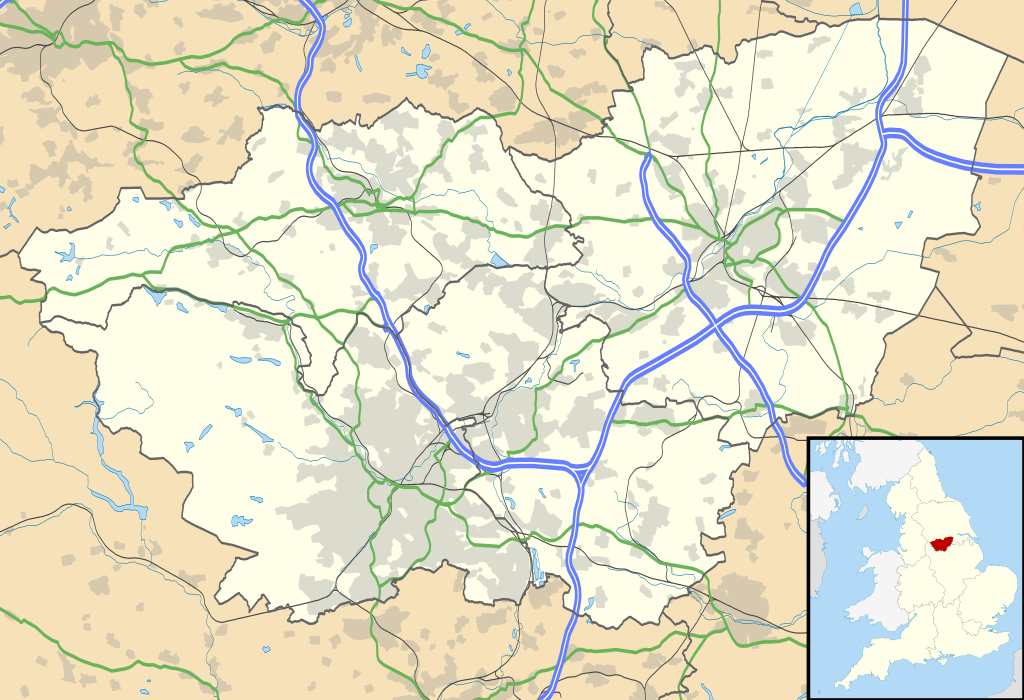
Map of South Yorkshire, UK with the following information shown:
Equirectangular map projection on WGS 84 datum, with N/S stretched 165% Geographic limits:
|
| 날짜 | |
| 출처 |
|
| 저자 | Nilfanion, created using Ordnance Survey data |
| 저작권 (이 파일을 인용하기) |
이 파일은 크리에이티브 커먼즈 저작자표시-동일조건변경허락 3.0 Unported 라이선스로 배포됩니다. 저작자표시: Contains Ordnance Survey data © Crown copyright and database right
|
| 다른 버전 | File:South Yorkshire UK district map (blank).svg - Blank map |
| SVG 발전 | 이 SVG 파일의 소스 코드를 4가지의 실수입니다. |
.svg)
파일 역사
날짜/시간 링크를 클릭하면 해당 시간의 파일을 볼 수 있습니다.
| 날짜/시간 | 섬네일 | 크기 | 사용자 | 설명 | |
|---|---|---|---|---|---|
| 현재 | 2010년 9월 27일 (월) 04:12 | | 1,425 × 974 (1.47 MB) | Nilfanion | {{Information |Description=Map of South Yorkshire, UK with the following information shown: *Administrative borders *Coastline, lakes and rivers *Roads and railways *Urban areas Equirectangular map projection on WGS 84 datum, with N |
이 파일을 사용하는 문서
다음 문서 3개가 이 파일을 사용하고 있습니다:
이 파일을 사용하고 있는 모든 위키의 문서 목록
다음 위키에서 이 파일을 사용하고 있습니다:
- ar.wikipedia.org에서 이 파일을 사용하고 있는 문서 목록
- bg.wikipedia.org에서 이 파일을 사용하고 있는 문서 목록
- ceb.wikipedia.org에서 이 파일을 사용하고 있는 문서 목록
- en.wikipedia.org에서 이 파일을 사용하고 있는 문서 목록
- Sheffield
- Roche Abbey
- Wentworth Woodhouse
- Conisbrough Castle
- Conisbrough
- Doncaster
- Anston
- Battle of Orgreave
- Barnsley
- Dore, South Yorkshire
- Ecclesall
- Stocksbridge
- Bradfield, South Yorkshire
- Dinnington, South Yorkshire
- Great Sheffield Flood
- Dunford Bridge
- Sheffield Botanical Gardens
- Woodlands, South Yorkshire
- Sheffield City Hall
- Askern
- Penistone
- Bawtry
- Handsworth, South Yorkshire
- Grimethorpe
- Darton
- Thorne, South Yorkshire
- Tickhill
- Beauchief Abbey
- Green Moor
- Oxspring
- Darfield, South Yorkshire
- Woodsetts
- Firbeck
- Austerfield
- Finningley
- Blaxton
- Hatfield, South Yorkshire
- Dunsville
- Moorends
- Sykehouse
- Pincheon Green
- Norton, Doncaster
- Campsall
- Hampole
- Skelbrooke
- Hooton Pagnell
- Clayton, South Yorkshire
이 파일의 더 많은 사용 내역을 봅니다.