
파일:Position of Auckland Region.png
최대 해상도입니다.
Position_of_Auckland_Region.png (405 × 590 픽셀, 파일 크기: 7 KB, MIME 종류: image/png)
파일 역사
날짜/시간 링크를 클릭하면 해당 시간의 파일을 볼 수 있습니다.
| 날짜/시간 | 섬네일 | 크기 | 사용자 | 설명 | |
|---|---|---|---|---|---|
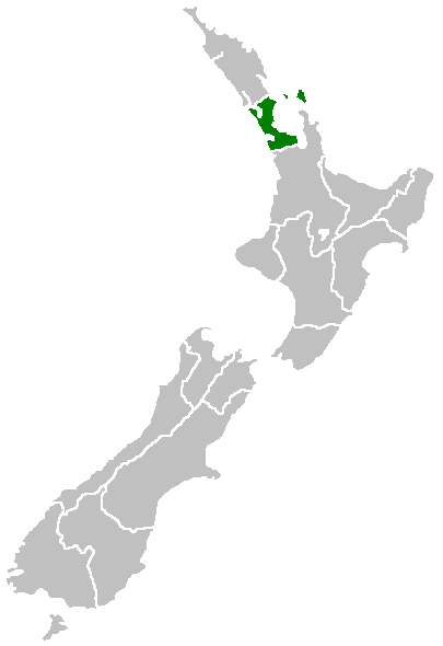
| 현재 | 2005년 4월 27일 (수) 16:40 | | 405 × 590 (7 KB) | Domie~commonswiki | Region of New Zealand, position on the map (source:English Wiki) {{PD}} Category:Maps of New Zealand |
이 파일을 사용하는 문서
다음 문서 2개가 이 파일을 사용하고 있습니다:
이 파일을 사용하고 있는 모든 위키의 문서 목록
다음 위키에서 이 파일을 사용하고 있습니다:
- ceb.wikipedia.org에서 이 파일을 사용하고 있는 문서 목록
- en.wikipedia.org에서 이 파일을 사용하고 있는 문서 목록
- Dragon Island
- Colville Channel
- Jellicoe Channel
- Cradock Channel
- Ponui Island
- Anawhata
- Matiatia
- Stockade Hill
- Southdown, New Zealand
- Blackpool, New Zealand
- Waitemata City
- Aiguilles Island
- Te Ārai
- Pakatoa Island
- Papakura City
- Template:Auckland-geo-stub
- Churchill Park, New Zealand
- Mathesons Bay
- Watchman Island
- Airport Oaks
- Chapel Downs
- Windy Canyon
- Mount Hobson (Great Barrier Island)
- Ōhinerau / Mount Hobson
- Lower Nihotupu Reservoir
- Onepoto (volcanic crater)
- Bike Auckland
- Woodcocks, New Zealand
- Tarahiki Island
- Ahuroa
- Tomarata
- Umupuia Beach
- Long Bay Regional Park
- Cosseys Reservoir
- Moturekareka Island
- Papakura Military Camp
- Keri Hill
- Traherne Island
- Franklin County, New Zealand
- Rodney County, New Zealand
- Crater Hill
- Matukutūruru
- Mount Cambria
- Ash Hill, New Zealand
- Ōtāhuhu / Mount Richmond
- Pukaki Lagoon
- Pukeiti (Auckland)
- Te Pou Hawaiki
- Duders Hill
이 파일의 더 많은 사용 내역을 봅니다.