
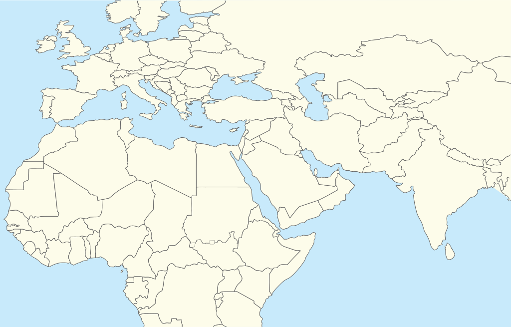
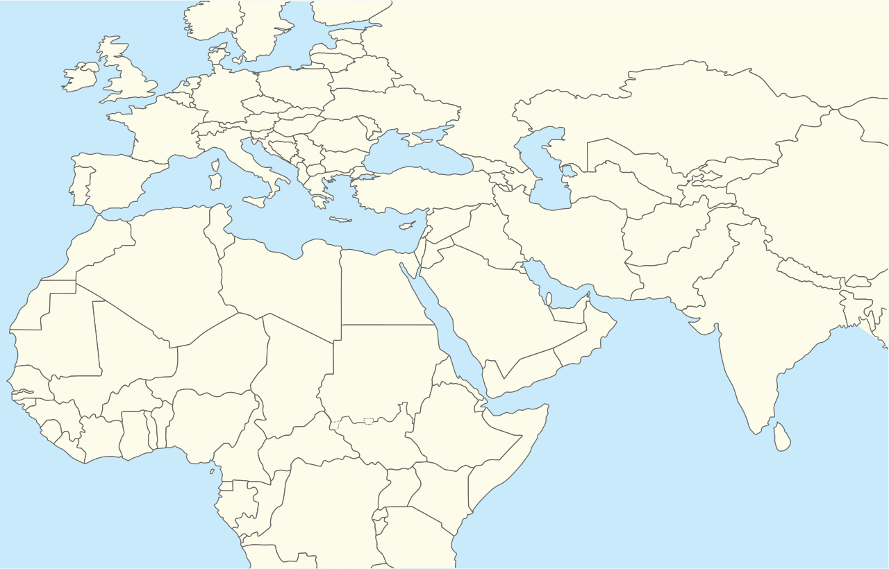
파일:Middle East location map.svg

SVG 파일의 PNG 형식의 미리보기 크기: 250 × 160 픽셀. 다른 해상도: 320 × 205 픽셀 | 640 × 410 픽셀 | 1,024 × 655 픽셀 | 1,280 × 819 픽셀 | 2,560 × 1,638 픽셀
원본 파일 (SVG 파일, 실제 크기 250 × 160 픽셀, 파일 크기: 258 KB)
| 설명 | Location map for Middle East (Greater Middle East) |
| 날짜 | (UTC) |
| 출처 | |
| 저자 |
|
| 이 그림은 수정된 그림으로, 원래 그림에서 디지털 변환이 이루어진 그림입니다. 수정 사항 : {{{1}}}. 원래의 그림 : World location map.svg:
|
나는 아래 작품의 저작권자로서, 이 저작물을 다음과 같은 라이선스로 배포합니다:
| 나는 이 작품의 저작권자로서, 이 작품을 퍼블릭 도메인으로 모두에게 공개합니다. 이 공개 선언은 전 세계적으로 유효합니다. 만약 저작권의 포기가 법률적으로 가능하지 않은 경우, 나는 이 작품을 법적으로 허용되는 한도 내에서 누구나 자유롭게 어떤 목적으로도 제한없이 사용할 수 있도록 허용합니다. |
기존 올리기 기록
This image is a derivative work of the following images:
- File:World_location_map.svg licensed with PD-self
- 2010-04-18T18:53:02Z STyx 800x400 (599024 Bytes) {{Information |Description={{en|1=?}} |Source=? |Author=? |Date= |Permission= |other_versions= }} == {{int:filedesc}} == {{Information |Description={{en}}Blank world map for location map templates ([[:en:Equirectangular proje
Uploaded with derivativeFX
파일 역사
날짜/시간 링크를 클릭하면 해당 시간의 파일을 볼 수 있습니다.
| 날짜/시간 | 섬네일 | 크기 | 사용자 | 설명 | |
|---|---|---|---|---|---|
| 현재 | 2024년 4월 12일 (금) 01:52 | | 250 × 160 (258 KB) | Iktsokh | Clearing the map |
| 2014년 4월 6일 (일) 05:12 |  | 250 × 160 (258 KB) | RicHard-59 | Sudan divided, Cyprus has been missing | |
| 2010년 10월 28일 (목) 22:06 |  | 250 × 160 (250 KB) | 배우는사람 | {{Information |Description=Location map for Middle East (Greater Middle East) |Source=*File:World_location_map.svg |Date=2010-10-28 13:06 (UTC) |Author=*File:World_location_map.svg *derivative work: ~~~ |Permission= |other_versions= }} {{Reto |
이 파일을 사용하는 문서
다음 문서 16개가 이 파일을 사용하고 있습니다:
이 파일을 사용하고 있는 모든 위키의 문서 목록
다음 위키에서 이 파일을 사용하고 있습니다:
- ar.wikipedia.org에서 이 파일을 사용하고 있는 문서 목록
- azb.wikipedia.org에서 이 파일을 사용하고 있는 문서 목록
- bn.wikipedia.org에서 이 파일을 사용하고 있는 문서 목록
- ceb.wikipedia.org에서 이 파일을 사용하고 있는 문서 목록
- ckb.wikipedia.org에서 이 파일을 사용하고 있는 문서 목록
- da.wikipedia.org에서 이 파일을 사용하고 있는 문서 목록
- en.wikipedia.org에서 이 파일을 사용하고 있는 문서 목록
- Shiraz
- Abarim
- Sea of Galilee
- Dubai International Airport
- Taba, Egypt
- Taif
- Dubai
- Al Ain
- Midian
- Prophet's Mosque
- Kuwait International Airport
- Sharjah International Airport
- King Khalid International Airport
- Zayed International Airport
- Fujairah International Airport
- Jebel Akhdar (Oman)
- Salman Pak
- Doha International Airport
- Mount Arafat
- 1973 Rome airport attacks and hijacking
- Safa and Marwa
- Dhaid
- King Abdulaziz International Airport
- Nizwa
- Shibam
- Sohar
- Seeb
- Abha
- Shah Amanat International Airport
- Prince Mohammad bin Abdulaziz International Airport
이 파일의 더 많은 사용 내역을 봅니다.