
파일:MHV - FAA airport diagram.gif
미리 보기 크기: 390 × 599 픽셀 다른 해상도: 156 × 240 픽셀 | 313 × 480 픽셀 | 806 × 1,237 픽셀
원본 파일 (806 × 1,237 픽셀, 파일 크기: 30 KB, MIME 종류: image/gif)
파일 설명
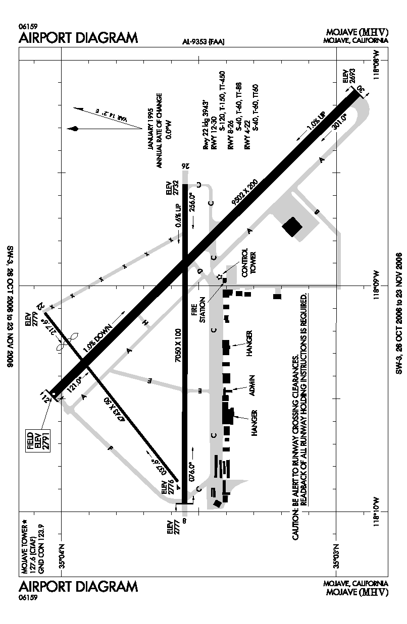
| 설명 | FAA airport diagram for MHV (Mojave Airport) in California, United States. |
| 날짜 | 날짜를 알 수 없음. Effective: 26 October 2006 - 23 November 2006 |
| 출처 | http://www.naco.faa.gov/index.asp?xml=naco/online/d_tpp |
| 저자 | United States Federal Aviation Administration |
| 저작권 (이 파일을 인용하기) |
Public Domain |
라이선스
This image or file is a work of a Federal Aviation Administration employee, taken or made as part of that person's official duties. As a work of the U.S. federal government, the image is in the public domain in the United States.
|
 |
파일 역사
날짜/시간 링크를 클릭하면 해당 시간의 파일을 볼 수 있습니다.
| 날짜/시간 | 섬네일 | 크기 | 사용자 | 설명 | |
|---|---|---|---|---|---|
| 현재 | 2006년 10월 18일 (수) 14:45 | | 806 × 1,237 (30 KB) | Thadius856 | FAA airport diagram for MHV (Mojave Airport) in California, United States. {{PD-USGov-FAA}} Category:Airports in the United States |
이 파일을 사용하는 문서
다음 문서 1개가 이 파일을 사용하고 있습니다:
이 파일을 사용하고 있는 모든 위키의 문서 목록
다음 위키에서 이 파일을 사용하고 있습니다:
- fr.wikipedia.org에서 이 파일을 사용하고 있는 문서 목록
- ja.wikipedia.org에서 이 파일을 사용하고 있는 문서 목록
- www.wikidata.org에서 이 파일을 사용하고 있는 문서 목록
- zh.wikipedia.org에서 이 파일을 사용하고 있는 문서 목록