
파일:Czech army Sgt. Van Kmecik and Croatian army Master Sgt. Bravko Horvat discuss patrol routes.jpg

원본 파일 (5,616 × 3,744 픽셀, 파일 크기: 5.47 MB, MIME 종류: image/jpeg)
파일 설명
| 설명 |
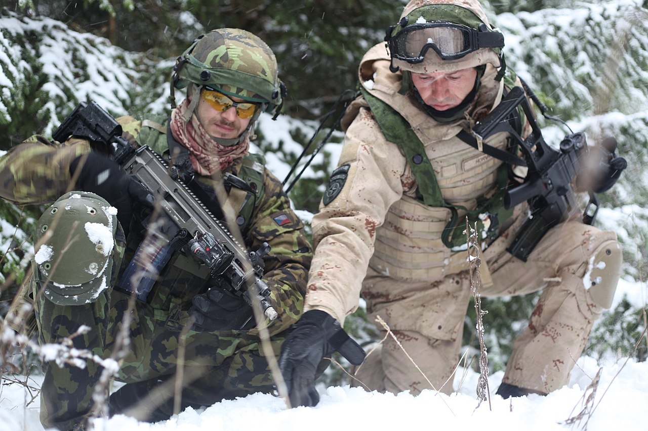
Czech army Sgt. Van Kmecik and Croatian army Master Sgt. Bravko Horvat discuss patrol routes while patrolling through the woods during a military advisory team training exercise at the Joint Multinational Readiness Center in Hohenfels, Germany, Dec. 10, 2012. MATs and police advisory team rotations are designed to replicate the Afghanistan operational environment while preparing teams for counterinsurgency and improvised explosive device operations with the ability to train, advise and enable the Afghanistan National Army and the Afghanistan National Police. (U.S. Army photo by Spc. Tristan Bolden/Released) VIPER COMBAT CAMERA USAREUR Photo by Spc. Tristan Bolden Date Taken:12.10.2012 Location:HOHENFELS, BW, DE Read more: www.dvidshub.net/image/800266/military-and-police-advisor... |
| 날짜 | 촬영 날짜: 2012년 12월 10일, 14:58 |
| 출처 |
Military and Police Advisory Training II at the Joint Multinational Readiness Center [Image 1 of 7]
|
| 저자 | DVIDSHUB |
| 카메라 위치 | | 이 지역의 다른 사진을 보기: OpenStreetMap |
|---|
라이선스
|
|
 |
| 플리커에 게시된 이 그림은 2013년 2월 10일에 관리자 혹은 신뢰된 사용자 File Upload Bot (Magnus Manske)에 의해 검토되어, 이 날짜를 기준으로 위의 라이선스로 사용 가능함이 확인되었습니다. |

|
이 파일은 미국 육군에서 ID 121210-A-PU716-007로 공개하였습니다.
|
파일 역사
날짜/시간 링크를 클릭하면 해당 시간의 파일을 볼 수 있습니다.
| 날짜/시간 | 섬네일 | 크기 | 사용자 | 설명 | |
|---|---|---|---|---|---|
| 현재 | 2013년 2월 11일 (월) 04:18 | | 5,616 × 3,744 (5.47 MB) | File Upload Bot (Magnus Manske) | Transferred from Flickr by User:oaktree_b using flickr2commons |
이 파일을 사용하는 문서
다음 문서 1개가 이 파일을 사용하고 있습니다:
이 파일을 사용하고 있는 모든 위키의 문서 목록
다음 위키에서 이 파일을 사용하고 있습니다:
- en.wikipedia.org에서 이 파일을 사용하고 있는 문서 목록
- he.wikipedia.org에서 이 파일을 사용하고 있는 문서 목록
- it.wikipedia.org에서 이 파일을 사용하고 있는 문서 목록
- sh.wikipedia.org에서 이 파일을 사용하고 있는 문서 목록
- zh.wikipedia.org에서 이 파일을 사용하고 있는 문서 목록