
파일:Canada Manitoba location map 2.svg

SVG 파일의 PNG 형식의 미리보기 크기: 486 × 599 픽셀. 다른 해상도: 195 × 240 픽셀 | 389 × 480 픽셀 | 623 × 768 픽셀 | 831 × 1,024 픽셀 | 1,661 × 2,048 픽셀 | 1,512 × 1,864 픽셀
원본 파일 (SVG 파일, 실제 크기 1,512 × 1,864 픽셀, 파일 크기: 599 KB)
파일 설명
| 설명 |
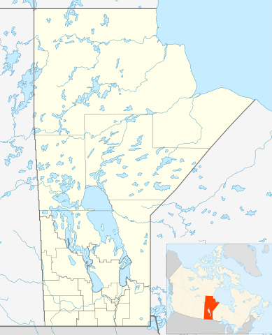
Quadratische Plattkarte, N-S-Streckung 170 %. Geographische Begrenzung der Karte:
Equirectangular projection, N/S stretching 170 %. Geographic limits of the map:
|
| 날짜 | |
| 출처 | 자작, File:Canada_Manitoba_location_map.svg by NordNordWest |
| 저자 | Hanhil 17:29, 24 September 2009 (UTC) |
| 저작권 (이 파일을 인용하기) |
나는 아래 작품의 저작권자로서, 이 저작물을 다음과 같은 라이선스로 배포합니다: 이 파일은 크리에이티브 커먼즈 저작자표시-동일조건변경허락 3.0 Unported 라이선스로 배포됩니다.
|
| SVG 발전 | 이 SVG 파일의 소스 코드를 5가지의 실수입니다. |
파일 역사
날짜/시간 링크를 클릭하면 해당 시간의 파일을 볼 수 있습니다.
| 날짜/시간 | 섬네일 | 크기 | 사용자 | 설명 | |
|---|---|---|---|---|---|
| 현재 | 2019년 2월 3일 (일) 16:31 | | 1,512 × 1,864 (599 KB) | JoKalliauer | valid id-names |
| 2009년 9월 25일 (금) 02:29 |  | 1,512 × 1,864 (906 KB) | Hanhil | {{Information |Description= {{de|Positionskarte von Manitoba, Kanada}} Quadratische Plattkarte, N-S-Streckung 170 %. Geographische Begrenzung der Karte: * N: 60.3° N * S: 48.7° N * W: 104.0° W * O: 88.0° W {{en|Location |
이 파일을 사용하는 문서
다음 문서 2개가 이 파일을 사용하고 있습니다:
이 파일을 사용하고 있는 모든 위키의 문서 목록
다음 위키에서 이 파일을 사용하고 있습니다:
- ar.wikipedia.org에서 이 파일을 사용하고 있는 문서 목록
- azb.wikipedia.org에서 이 파일을 사용하고 있는 문서 목록
- ba.wikipedia.org에서 이 파일을 사용하고 있는 문서 목록
- bg.wikipedia.org에서 이 파일을 사용하고 있는 문서 목록
- ca.wikipedia.org에서 이 파일을 사용하고 있는 문서 목록
- ceb.wikipedia.org에서 이 파일을 사용하고 있는 문서 목록
- en.wikipedia.org에서 이 파일을 사용하고 있는 문서 목록
- Gilbert Plains
- Neelin
- Cree
- The Pas
- Fort Garry
- Brandon, Manitoba
- Flin Flon
- Churchill, Manitoba
- Grunthal, Manitoba
- Lynn Lake
- International Peace Garden
- Birtle, Manitoba
- Portage la Prairie
- Dauphin, Manitoba
- Roblin, Manitoba
- Dominion City
- Manitou, Manitoba
- Forrest, Manitoba
- Thompson, Manitoba
- Steinbach, Manitoba
- Lower Fort Garry
- Deloraine, Manitoba
- Winnipegosis
- Sainte Rose du Lac
- Gunton, Manitoba
- Pisew Falls Provincial Park
- Hamiota, Manitoba
- CFB Shilo
- Winkler, Manitoba
- Boissevain, Manitoba
- Cranberry Portage
- Selkirk, Manitoba
- Morden, Manitoba
- Clearwater, Manitoba
- Souris, Manitoba
- Niverville, Manitoba
- Bakers Narrows
- Dugald, Manitoba
- Swan River, Manitoba
이 파일의 더 많은 사용 내역을 봅니다.