
파일:Map 3 - Croatia - Eastern Slavonia, September 1991-January 1992.jpg
미리 보기 크기: 800 × 593 픽셀 다른 해상도: 320 × 237 픽셀 | 640 × 474 픽셀 | 1,024 × 759 픽셀 | 1,214 × 900 픽셀
원본 파일 (1,214 × 900 픽셀, 파일 크기: 312 KB, MIME 종류: image/jpeg)
| 설명 |
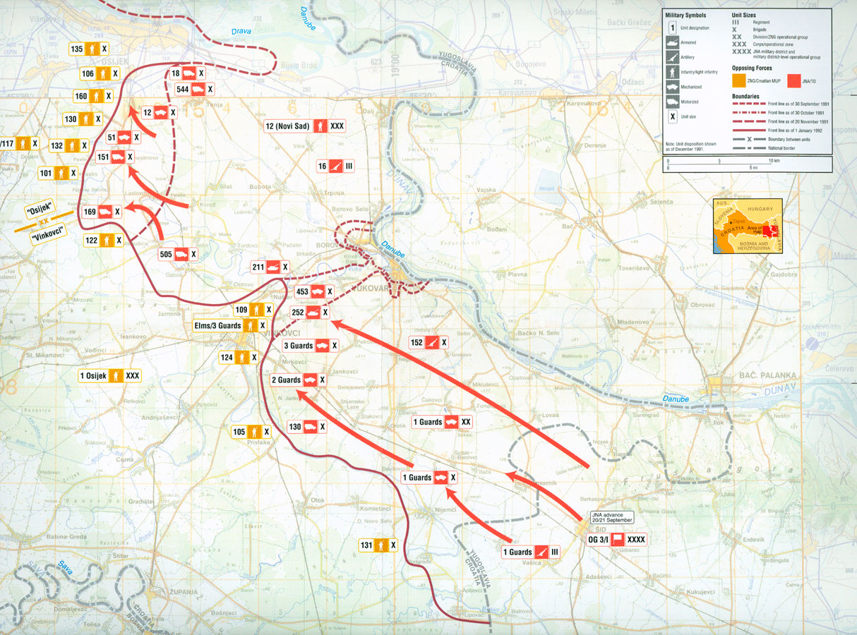
English: Map of military operations in eastern Slavonia, Croatia, September 1991 - January 1992
|
||
| 날짜 | |||
| 출처 | Central Intelligence Agency Office of Russian and European Analysis (2002년) Balkan Battlegrounds: A Military History of the Yugoslav Conflict, 1990–1995 Volume I, Washington, DC: Central Intelligence Agency ISBN: 9780160664724. ISBN 9780160664724 | ||
| 저자 | Central Intelligence Agency | ||
| 다른 버전 |
|


| 이 사진은 미국 중앙정보국(CIA)의 직원이 공무의 일환으로 제작하거나 촬영했습니다. 미국 정부가 제작한 사진이므로, 이 그림이나 미디어는 퍼블릭 도메인입니다.
|

|
파일 역사
날짜/시간 링크를 클릭하면 해당 시간의 파일을 볼 수 있습니다.
| 날짜/시간 | 섬네일 | 크기 | 사용자 | 설명 | |
|---|---|---|---|---|---|
| 현재 | 2006년 5월 22일 (월) 05:51 | | 1,214 × 900 (312 KB) | Tieum512 | Military operations in eastern Slavonia, September 1991 - January 1992 |
이 파일을 사용하는 문서
다음 문서 3개가 이 파일을 사용하고 있습니다:
이 파일을 사용하고 있는 모든 위키의 문서 목록
다음 위키에서 이 파일을 사용하고 있습니다:
- ar.wikipedia.org에서 이 파일을 사용하고 있는 문서 목록
- ast.wikipedia.org에서 이 파일을 사용하고 있는 문서 목록
- azb.wikipedia.org에서 이 파일을 사용하고 있는 문서 목록
- bg.wikipedia.org에서 이 파일을 사용하고 있는 문서 목록
- ca.wikipedia.org에서 이 파일을 사용하고 있는 문서 목록
- da.wikipedia.org에서 이 파일을 사용하고 있는 문서 목록
- de.wikipedia.org에서 이 파일을 사용하고 있는 문서 목록
- el.wikipedia.org에서 이 파일을 사용하고 있는 문서 목록
- en.wikipedia.org에서 이 파일을 사용하고 있는 문서 목록
- es.wikipedia.org에서 이 파일을 사용하고 있는 문서 목록
- fi.wikipedia.org에서 이 파일을 사용하고 있는 문서 목록
- fr.wikipedia.org에서 이 파일을 사용하고 있는 문서 목록
- gl.wikipedia.org에서 이 파일을 사용하고 있는 문서 목록
- he.wikipedia.org에서 이 파일을 사용하고 있는 문서 목록
- hr.wikipedia.org에서 이 파일을 사용하고 있는 문서 목록
- hr.wikibooks.org에서 이 파일을 사용하고 있는 문서 목록
- hu.wikipedia.org에서 이 파일을 사용하고 있는 문서 목록
- it.wikipedia.org에서 이 파일을 사용하고 있는 문서 목록
- lt.wikipedia.org에서 이 파일을 사용하고 있는 문서 목록
- pt.wikipedia.org에서 이 파일을 사용하고 있는 문서 목록
- ro.wikipedia.org에서 이 파일을 사용하고 있는 문서 목록
- sh.wikipedia.org에서 이 파일을 사용하고 있는 문서 목록
- th.wikipedia.org에서 이 파일을 사용하고 있는 문서 목록
- vi.wikipedia.org에서 이 파일을 사용하고 있는 문서 목록