
파일:HokkaidoMap Oshima subprefecture ko.png
미리 보기 크기: 800 × 571 픽셀 다른 해상도: 320 × 229 픽셀 | 640 × 457 픽셀 | 1,024 × 731 픽셀 | 1,400 × 1,000 픽셀
원본 파일 (1,400 × 1,000 픽셀, 파일 크기: 28 KB, MIME 종류: image/png)
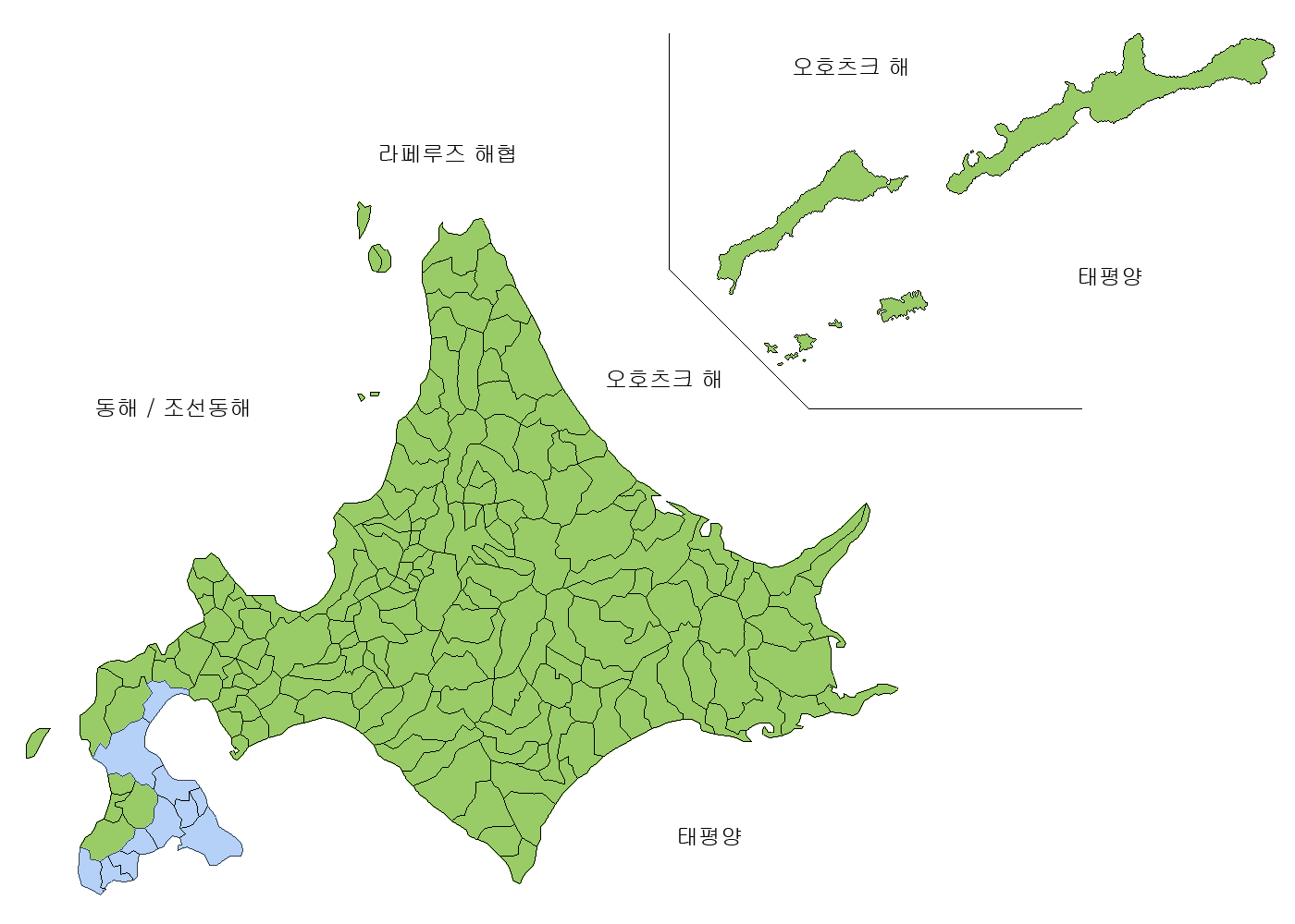
| 설명 | Map of Oshima subprefecture in Korean | ||||||
| 출처 | Image:HokkaidoMapCurrent en.png and Image:HokkaidoMapCurrent ko.png | ||||||
| 저자 | made by LERK | ||||||
| 저작권 (이 파일을 인용하기) |
|

파일 역사
날짜/시간 링크를 클릭하면 해당 시간의 파일을 볼 수 있습니다.
| 날짜/시간 | 섬네일 | 크기 | 사용자 | 설명 | |
|---|---|---|---|---|---|
| 현재 | 2007년 9월 11일 (화) 01:35 | | 1,400 × 1,000 (28 KB) | LERK | {{Information |Description=Map of Oshima subprefecture in English |Source=Image:HokkaidoMapCurrent en.png and Image:HokkaidoMapCurrent ko.png |Date= |Author=made by LERK |Permission={{Map of Japan-Shigenobu AOKI}}{{PD-Demis}} }} [[Category:Maps |
이 파일을 사용하는 문서
이 파일을 사용하는 문서가 없습니다.
이 파일을 사용하고 있는 모든 위키의 문서 목록
다음 위키에서 이 파일을 사용하고 있습니다:
- www.wikidata.org에서 이 파일을 사용하고 있는 문서 목록