
파일:Buffalo New York aerial view.jpg
미리 보기 크기: 800 × 562 픽셀 다른 해상도: 320 × 225 픽셀 | 640 × 449 픽셀 | 1,024 × 719 픽셀 | 1,280 × 899 픽셀 | 1,500 × 1,053 픽셀
원본 파일 (1,500 × 1,053 픽셀, 파일 크기: 564 KB, MIME 종류: image/jpeg)
| 설명 |
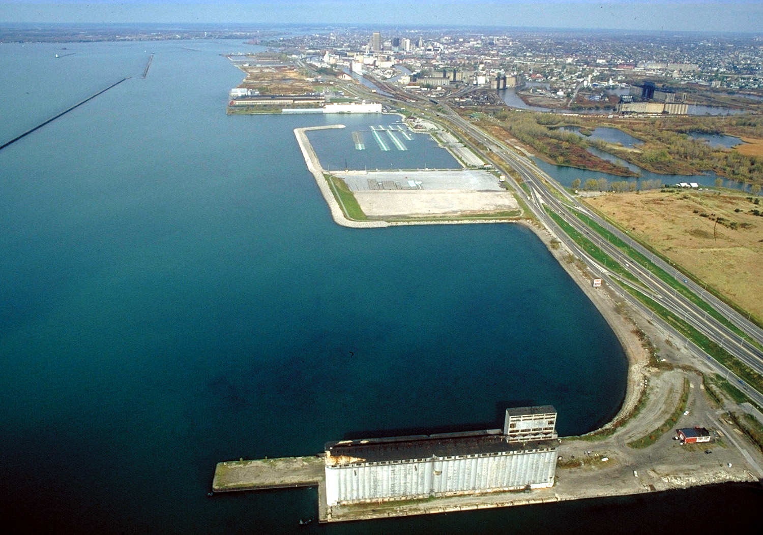
English: Aerial view of Buffalo, New York, USA, on the lower end of Lake Erie. The view is north along the shoreline toward the Niagara River. New York State Route 5, the Buffalo Skyway, runs north–south along the harbor. |
|||
| 날짜 | ||||
| 출처 |
U.S. Army Corps of Engineers Digital Visual Library Image page Image description page Digital Visual Library home page |
|||
| 저자 | Ken Winters, U.S. Army Corps of Engineers | |||
| 저작권 (이 파일을 인용하기) |
|
|||
| 장소 | Buffalo, New York, USA |
| 카메라 위치 | | 이 지역의 다른 사진을 보기: OpenStreetMap |
|---|
파일 역사
날짜/시간 링크를 클릭하면 해당 시간의 파일을 볼 수 있습니다.
| 날짜/시간 | 섬네일 | 크기 | 사용자 | 설명 | |
|---|---|---|---|---|---|
| 현재 | 2007년 4월 1일 (일) 01:06 | | 1,500 × 1,053 (564 KB) | DanMS | {{Information | Description = {{en|Aerial view of Buffalo, New York, USA, on the lower end of Lake Erie. The view is north along the shoreline toward the Niagara River. New York State Route 5, the Buffalo Skyway, runs north–south along the harbor.}} |
이 파일을 사용하는 문서
다음 문서 1개가 이 파일을 사용하고 있습니다:
이 파일을 사용하고 있는 모든 위키의 문서 목록
다음 위키에서 이 파일을 사용하고 있습니다:
- ar.wikipedia.org에서 이 파일을 사용하고 있는 문서 목록
- en.wikipedia.org에서 이 파일을 사용하고 있는 문서 목록
- hi.wikipedia.org에서 이 파일을 사용하고 있는 문서 목록
- kn.wikipedia.org에서 이 파일을 사용하고 있는 문서 목록