
파일:Azerbaijan adm location map.svg

원본 파일 (SVG 파일, 실제 크기 1,200 × 919 픽셀, 파일 크기: 274 KB)
파일 설명
| 설명 |
Deutsch: Positionskarte von Aserbaidschan
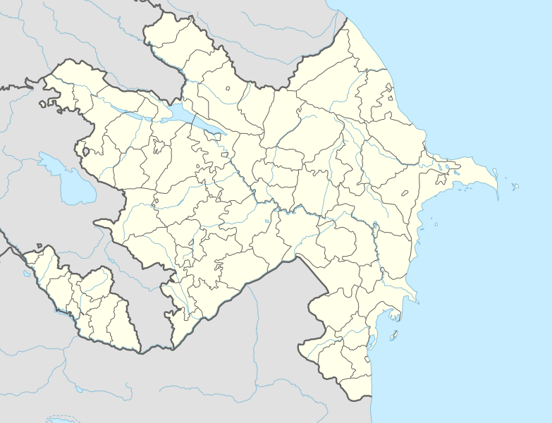
English: Location map of Azerbaijan
|
||||||||||||
| 날짜 | |||||||||||||
| 출처 |
다음을 사용한 자신의 작품:
|
||||||||||||
| 저자 | NordNordWest | ||||||||||||
| 다른 버전 |
|
||||||||||||
_location_map.svg)
_location_map.svg)

|
This map has been made or improved in the German Kartenwerkstatt (Map Lab). You can propose maps to improve as well.
|
라이선스
Usage of this file with:

explanatory notes: Legally binding is only the full legalcode. For a free usage I recommend to respect the following licence conditions:
1. Provide my name as given above: NordNordWest,
2. a copy of, or the URI for, the applicable license: https://creativecommons.org/licenses/by-sa/3.0/de/legalcode,
3. the title of the work,
4. in the case of an adaptation, a credit identifying the use of the work in the adaptation.
This license and the rights granted hereunder will terminate automatically upon any breach by you of the terms of this license. Any of the above conditions can be waived if you get permission from the copyright holder. If you have questions or wish differing conditions, please contact me through nnwest or my discussion page ![]() t-online.de
t-online.de
- 이용자는 다음의 권리를 갖습니다:
- 공유 및 이용 – 저작물의 복제, 배포, 전시, 공연 및 공중송신
- 재창작 – 저작물의 개작, 수정, 2차적저작물 창작
- 다음과 같은 조건을 따라야 합니다:
- 저작자표시 – 적절한 저작자 표시를 제공하고, 라이센스에 대한 링크를 제공하고, 변경사항이 있는지를 표시해야 합니다. 당신은 합리적인 방식으로 표시할 수 있지만, 어떤 방식으로든 사용권 허가자가 당신 또는 당신의 사용을 지지하는 방식으로 표시할 수 없습니다.
- 동일조건변경허락 – 만약 당신이 이 저작물을 리믹스 또는 변형하거나 이 저작물을 기반으로 제작하는 경우, 당신은 당신의 기여물을 원저작물과 동일하거나 호환 가능한 라이선스에 따라 배포하여야 합니다.

파일 역사
날짜/시간 링크를 클릭하면 해당 시간의 파일을 볼 수 있습니다.
| 날짜/시간 | 섬네일 | 크기 | 사용자 | 설명 | |
|---|---|---|---|---|---|
| 현재 | 2024년 4월 10일 (수) 23:39 | | 1,200 × 919 (274 KB) | NordNordWest | corr |
| 2024년 1월 27일 (토) 05:51 |  | 1,200 × 919 (274 KB) | NordNordWest | corr Ağdərə | |
| 2023년 10월 7일 (토) 21:58 |  | 1,200 × 919 (273 KB) | Nemoralis | this is in common usage | |
| 2023년 10월 7일 (토) 21:31 |  | 1,200 × 919 (280 KB) | Toghrul R | there's a separate file for this | |
| 2023년 10월 3일 (화) 05:24 |  | 1,200 × 919 (273 KB) | Qutlu | upd | |
| 2021년 4월 21일 (수) 04:18 |  | 1,200 × 919 (280 KB) | NordNordWest | . | |
| 2021년 4월 20일 (화) 04:18 |  | 1,200 × 919 (286 KB) | AntonSamuel | Further minor fixes | |
| 2021년 4월 20일 (화) 04:12 |  | 1,200 × 919 (286 KB) | AntonSamuel | Stripes fix | |
| 2021년 4월 20일 (화) 00:58 |  | 1,200 × 919 (286 KB) | AntonSamuel | Minor fix for Shusha | |
| 2021년 4월 20일 (화) 00:56 |  | 1,200 × 919 (286 KB) | AntonSamuel | Further adjustments |
이 파일을 사용하는 문서
다음 문서 22개가 이 파일을 사용하고 있습니다:
이 파일을 사용하고 있는 모든 위키의 문서 목록
다음 위키에서 이 파일을 사용하고 있습니다:
- ab.wikipedia.org에서 이 파일을 사용하고 있는 문서 목록
- af.wikipedia.org에서 이 파일을 사용하고 있는 문서 목록
- als.wikipedia.org에서 이 파일을 사용하고 있는 문서 목록
- ang.wikipedia.org에서 이 파일을 사용하고 있는 문서 목록
- an.wikipedia.org에서 이 파일을 사용하고 있는 문서 목록
- ar.wikipedia.org에서 이 파일을 사용하고 있는 문서 목록
- ast.wikipedia.org에서 이 파일을 사용하고 있는 문서 목록
- Baku Crystal Hall
- Bakú
- Estadiu Tofiq Bəhramov
- Complexu Deportivu y de Conciertos Heydər Əliyev
- Tigranakert (Artsakh)
- Stepanakert
- Sumqayit
- Mingachevir
- Circuitu urbanu de Bakú
- Módulu:Mapa de llocalización/datos/Azerbaixán
- Módulu:Mapa de llocalización/datos/Azerbaixán/usu
- Frontera ente Azerbaixán ya Irán
- Frontera ente Azerbaixán y Turquía
- Alministración Presidencial d'Azerbaixán
- Aeropuertu Internacional Heydar Aliyev
- Aeropuertu de Ganja
- Aeropuertu de Stepanakert
- Puertu comercial marítimu internacional de Bakú
- Muséu Estatal d'Historia d'Azerbaixán
- Muséu d'Arte Modernu de Bakú
- Observatoriu Astrofísicu de Şamaxı
- Estación de ferrocarril de Bakú
- Islla Gil (Azerbaixán)
- av.wikipedia.org에서 이 파일을 사용하고 있는 문서 목록
- azb.wikipedia.org에서 이 파일을 사용하고 있는 문서 목록
이 파일의 더 많은 사용 내역을 봅니다.