
파일:Ansett Fokker F28 PER Wheatley-2.jpg
미리 보기 크기: 800 × 507 픽셀 다른 해상도: 320 × 203 픽셀 | 640 × 406 픽셀 | 1,024 × 649 픽셀 | 1,333 × 845 픽셀
원본 파일 (1,333 × 845 픽셀, 파일 크기: 271 KB, MIME 종류: image/jpeg)
| 대상 위치 | | 이 지역의 다른 사진을 보기: OpenStreetMap |
|---|
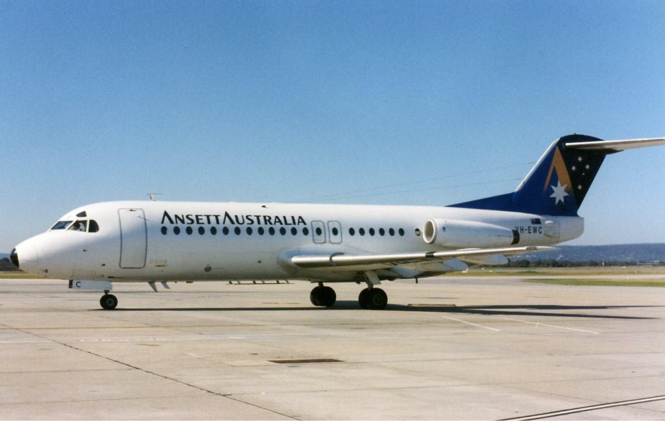
| 설명 | Ansett Fokker-28-4000 at Perth Airport. |
| 날짜 | mid 1990s |
| 출처 | http://www.myaviation.net/search/photo_search.php?id=00476596&size=large |
| 저자 | John Wheatley |
This file comes from the John Wheatley collection and is copyrighted.
Note: This permission only extends to photos taken by John Wheatley at this link and this link, in addition to files which may be provided via email. It does not include any other content from the above sites which has not been provided by John Wheatley.
|


|
이 파일에 달려있는 분류에 대한 확인이 필요합니다. 지금 바로 확인해주세요!
|
파일 역사
날짜/시간 링크를 클릭하면 해당 시간의 파일을 볼 수 있습니다.
| 날짜/시간 | 섬네일 | 크기 | 사용자 | 설명 | |
|---|---|---|---|---|---|
| 현재 | 2011년 11월 24일 (목) 19:32 | | 1,333 × 845 (271 KB) | Russavia | {{Object location|31|56|27.41|S|115|57|53.02|E|type:airport_region:AU}} {{Information |Description=Ansett Fokker-28-4000 at Perth Airport. |Source=http://www.myaviation.net/search/photo_search.php?id=00476596&size=large |Date=mid 1990s |Author=John Wheatl |
이 파일을 사용하는 문서
다음 문서 1개가 이 파일을 사용하고 있습니다: