
파일:Wi-map.png
최대 해상도입니다.
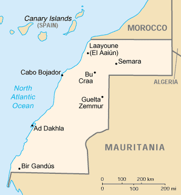
Wi-map.png (358 × 386 픽셀, 파일 크기: 8 KB, MIME 종류: image/png)
|
|
 |
파일 역사
날짜/시간 링크를 클릭하면 해당 시간의 파일을 볼 수 있습니다.
| 날짜/시간 | 섬네일 | 크기 | 사용자 | 설명 | |
|---|---|---|---|---|---|
| 현재 | 2010년 3월 22일 (월) 05:37 | | 358 × 386 (8 KB) | Ras67 | cropped |
| 2005년 6월 13일 (월) 21:46 |  | 364 × 390 (8 KB) | Dubaduba~commonswiki | Category:Western Sahara {{PD-UDGov-CIA-WF}} |
이 파일을 사용하는 문서
이 파일을 사용하는 문서가 없습니다.
이 파일을 사용하고 있는 모든 위키의 문서 목록
다음 위키에서 이 파일을 사용하고 있습니다:
- ast.wikipedia.org에서 이 파일을 사용하고 있는 문서 목록
- be-tarask.wikipedia.org에서 이 파일을 사용하고 있는 문서 목록
- bg.wikipedia.org에서 이 파일을 사용하고 있는 문서 목록
- ca.wikipedia.org에서 이 파일을 사용하고 있는 문서 목록
- Resolució 377 del Consell de Seguretat de les Nacions Unides
- Resolució 380 del Consell de Seguretat de les Nacions Unides
- Prefectura apostòlica del Sàhara Occidental
- Resolució 1324 del Consell de Seguretat de les Nacions Unides
- Resolució 1634 del Consell de Seguretat de les Nacions Unides
- Mòdul:Location map/data/Sàhara Occidental
- Mòdul:Location map/data/Sàhara Occidental/ús
- ckb.wikipedia.org에서 이 파일을 사용하고 있는 문서 목록
- cy.wikipedia.org에서 이 파일을 사용하고 있는 문서 목록
- da.wikipedia.org에서 이 파일을 사용하고 있는 문서 목록
- de.wikipedia.org에서 이 파일을 사용하고 있는 문서 목록
- en.wikipedia.org에서 이 파일을 사용하고 있는 문서 목록
- List of cities in Western Sahara
- United Nations Security Council Resolution 380
- United Nations Security Council Resolution 658
- United Nations Security Council Resolution 1324
- United Nations Security Council Resolution 1634
- Module:Location map/data/Western Sahara/doc
- Module:Location map/data/Western Sahara
- en.wiktionary.org에서 이 파일을 사용하고 있는 문서 목록
- eo.wikipedia.org에서 이 파일을 사용하고 있는 문서 목록
- es.wikipedia.org에서 이 파일을 사용하고 있는 문서 목록
- fa.wikipedia.org에서 이 파일을 사용하고 있는 문서 목록
- fo.wikipedia.org에서 이 파일을 사용하고 있는 문서 목록
- fr.wikipedia.org에서 이 파일을 사용하고 있는 문서 목록
- fy.wikipedia.org에서 이 파일을 사용하고 있는 문서 목록
- gd.wikipedia.org에서 이 파일을 사용하고 있는 문서 목록
- gl.wikipedia.org에서 이 파일을 사용하고 있는 문서 목록
- hu.wikipedia.org에서 이 파일을 사용하고 있는 문서 목록
- hu.wiktionary.org에서 이 파일을 사용하고 있는 문서 목록
이 파일의 더 많은 사용 내역을 봅니다.