
파일:Valga maakond.svg

SVG 파일의 PNG 형식의 미리보기 크기: 800 × 576 픽셀. 다른 해상도: 320 × 230 픽셀 | 640 × 460 픽셀 | 1,024 × 737 픽셀 | 1,280 × 921 픽셀 | 2,560 × 1,842 픽셀 | 884 × 636 픽셀
원본 파일 (SVG 파일, 실제 크기 884 × 636 픽셀, 파일 크기: 450 KB)
파일 설명
| 설명 |
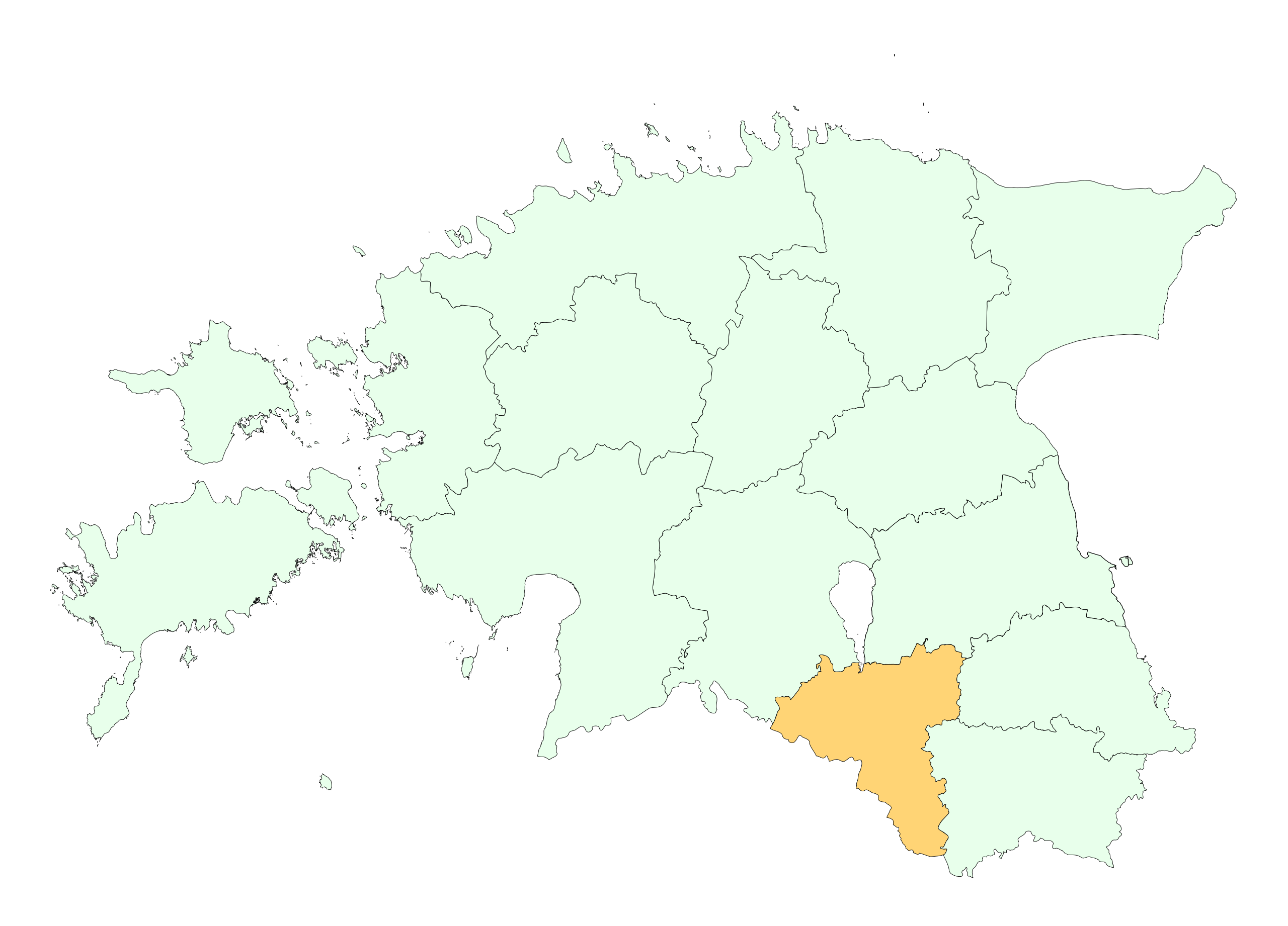
English: Location of Valga county |
||
| 날짜 | |||
| 출처 | re-creating the file | ||
| 저자 | Estonian Land Board | ||
| 저작권 (이 파일을 인용하기) |
|
라이선스

|
This map uses administrative map from Estonian Land Board (1.2006) as its data source. Reproduction is authorised, provided the data source is acknowledged and validity date is provided.
Eesti: Andmete kasutamisel tuleb viitena ära märkida andmeallikana Maa-amet ning viidata andmete seisule.
|
파일 역사
날짜/시간 링크를 클릭하면 해당 시간의 파일을 볼 수 있습니다.
| 날짜/시간 | 섬네일 | 크기 | 사용자 | 설명 | |
|---|---|---|---|---|---|
| 현재 | 2009년 4월 24일 (금) 22:20 | | 884 × 636 (450 KB) | Mmh | {{Information |Description={{en|1=Location of Valga county}} |Source=re-creating the file |Author=Estonian Land Board |Date=2006 |Permission={{EST-Land Board|1.2006}} |other_versions= }} <!--{{ImageUpload|full}}--> [[Category:Locator maps of counties of |
이 파일을 사용하는 문서
다음 문서 1개가 이 파일을 사용하고 있습니다:
이 파일을 사용하고 있는 모든 위키의 문서 목록
다음 위키에서 이 파일을 사용하고 있습니다:
- be-tarask.wikipedia.org에서 이 파일을 사용하고 있는 문서 목록
- be.wikipedia.org에서 이 파일을 사용하고 있는 문서 목록
- et.wikipedia.org에서 이 파일을 사용하고 있는 문서 목록
- hr.wikipedia.org에서 이 파일을 사용하고 있는 문서 목록
- hu.wikipedia.org에서 이 파일을 사용하고 있는 문서 목록
- kw.wikipedia.org에서 이 파일을 사용하고 있는 문서 목록
- nn.wikipedia.org에서 이 파일을 사용하고 있는 문서 목록
- pt.wikipedia.org에서 이 파일을 사용하고 있는 문서 목록
- se.wikipedia.org에서 이 파일을 사용하고 있는 문서 목록
- vo.wikipedia.org에서 이 파일을 사용하고 있는 문서 목록