
파일:India Bihar locator map.svg

원본 파일 (SVG 파일, 실제 크기 1,574 × 1,738 픽셀, 파일 크기: 836 KB)
| 제목 |
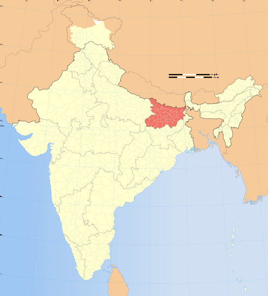
Bihar locator map |
|||||||||
| 묘사 | ||||||||||
| 지도 범례 |
 |
|||||||||
| 날짜 | ||||||||||
| 출처 |
자작 |
|||||||||
| 창작자 |
|
|||||||||
| 저작권 (이 파일을 인용하기) |
나는 아래 작품의 저작권자로서, 이 저작물을 다음과 같은 라이선스로 배포합니다: 이 파일은 크리에이티브 커먼즈 저작자표시-동일조건변경허락 3.0 Unported 라이선스로 배포됩니다.
|
|||||||||
| 지리 정보 | ||||||||||
| 기재된 날 | second half of 20 century, 21 century | |||||||||
| 사용된 공간기준계 | conic | |||||||||
| 영역 상자 |
|
|||||||||
| 지리 참고 | 부적절한 경우에 숨기려면 warp_status = skip로 설정하세요. | |||||||||
| 보관 기록 자료 | ||||||||||
| 참고 | Part of WikiProject India Maps | |||||||||
| 다른 버전 |
|
|||||||||


Notes
Depiction of India's borders
- The territorial boundaries of India are shown as per the actual ground situation in accordance with international practices followed by the United Nations ([1], [2]) and the National Geographic Society ([3], [4])
- This map is meant to be for illustrative purpose only and is not authenticated by official government sources. Please check the list of sources and references used to create the map for a measure of accuracy and verifiability.
- The usage of these maps in India, Pakistan and China are governed by different laws that restrict depictions of boundaries other than what is officially recognized by the state. Please check local laws and modify the map accordingly before use.
Explanation of disputed boundaries


- Boundary of Indian claim : The territory India claims is legally theirs, but the claim is disputed by China and Pakistan.
- Line of Control/Line of Conflict : The de facto administrative boundary recognised by the international community. This UN ceasefire line is considered as a temporary solution to an ongoing conflict since the departure of the British Raj.
Borders of disputed regions
The depicted extent of the former territory of the British Indian Empire, succeeded by Republic of India, may not be accepted by few countries as legal due to ongoing border disputes:
- The northern Himalayan region of the disputed territory Indian-administered Kashmir is claimed by India including (Pakistan-administered Kashmir) and the Chinese-occupied territory of (Ladakh plateau). Since 1972, it is divided between all three countries. See also Line of Control and Line of Actual Control.
- Siachen glacier (shown white) is an actively contested region between India and Pakistan. Since 1984, the region is under Indian control.
- The northeastern territory of Arunachal Pradesh is almost entirely claimed by China as part of its Tibetan territory.
- Minor areas of eastern Kashmir's Ladakh division, Himachal Pradesh and Uttarakhand on the Chinese frontier are claimed by China. These areas are under Indian control.
- A small area of Uttarakhand adjoining the Nepal border along the Sarda river is disputed between the two countries.
For a detailed map of all disputed regions in South Asia, see Image:India disputed areas map.svg
Internal borders
The borders of the state of Meghalaya, Assam and Arunachal Pradesh are shown as interpreted from the North-Eastern Areas (Reorganisation) Act, 1971, but has yet to be verified.
Territorial waters
The limit of the territorial waters of India extends to twelve nautical miles measured from the appropriate baseline. See this for more information.
derivative works
이 파일은 다음으로 파생됨: India Bihar Election Boundaries 2010.svg
파일 역사
날짜/시간 링크를 클릭하면 해당 시간의 파일을 볼 수 있습니다.
| 날짜/시간 | 섬네일 | 크기 | 사용자 | 설명 | |
|---|---|---|---|---|---|
| 현재 | 2008년 12월 29일 (월) 15:41 | | 1,574 × 1,738 (836 KB) | Planemad | |
| 2006년 8월 7일 (월) 02:51 |  | 1,639 × 1,852 (751 KB) | Planemad | {{WikiProject_India_Maps |Title=Bihar locator map |Description=Locator map of the state of Bihar, India with district boundaries. |Source=. |Date=August 6 2006 |Author=w:user:Nichalpw:user:Planemad |Thumbdir=CHANGE }} |
이 파일을 사용하는 문서
다음 문서 1개가 이 파일을 사용하고 있습니다:
이 파일을 사용하고 있는 모든 위키의 문서 목록
다음 위키에서 이 파일을 사용하고 있습니다:
- ar.wikipedia.org에서 이 파일을 사용하고 있는 문서 목록
- as.wikipedia.org에서 이 파일을 사용하고 있는 문서 목록
- az.wikipedia.org에서 이 파일을 사용하고 있는 문서 목록
- ba.wikipedia.org에서 이 파일을 사용하고 있는 문서 목록
- be-tarask.wikipedia.org에서 이 파일을 사용하고 있는 문서 목록
- be.wikipedia.org에서 이 파일을 사용하고 있는 문서 목록
- bg.wikipedia.org에서 이 파일을 사용하고 있는 문서 목록
- br.wikipedia.org에서 이 파일을 사용하고 있는 문서 목록
- cdo.wikipedia.org에서 이 파일을 사용하고 있는 문서 목록
- ceb.wikipedia.org에서 이 파일을 사용하고 있는 문서 목록
- da.wikipedia.org에서 이 파일을 사용하고 있는 문서 목록
- el.wikipedia.org에서 이 파일을 사용하고 있는 문서 목록
- en.wikipedia.org에서 이 파일을 사용하고 있는 문서 목록
- Wikipedia:WikiProject India
- User:Pratty
- Category:Bihari Wikipedians
- Wikipedia:WikiProject Bihar
- User:B.arjun
- Template:User interest India
- Template:User interest India/doc
- Template:User WP India
- Template:User WP India/doc
- Wikipedia:Userboxes/Location/India
- Template:User in India
- Template:User in India/doc
- Template:User in Bihar
- Template:User in Bihar/doc
- User:Pm.madhav
- Template:User WP Bihar
- Template:User WP Bihar/doc
- Template:User interest Bihar
- Template:User interest Bihar/doc
- Wikipedia:Userboxes/WikiProjects/Regional/02
- Template:User citizen India
- Template:User citizen India/doc
- Template:User citizen Bihar
- Template:User citizen Bihar/doc
- Template:User from India
- Template:User from India/doc
- Template:User from Bihar
- Template:User from Bihar/doc
- Category:Wikipedians interested in Bihar
- Category:WikiProject Bihar participants
- Template:User India/doc1
- Template:User Bihar/doc1
- Bihar school meal poisoning incident
- User:JaiveerG/sandbox/article1
- User:Swatantrasingh
- User:Tanmay Tarun
- Outline of Bihar
이 파일의 더 많은 사용 내역을 봅니다.