
파일:Blaenau Gwent UK location map.svg

SVG 파일의 PNG 형식의 미리보기 크기: 469 × 600 픽셀. 다른 해상도: 188 × 240 픽셀 | 375 × 480 픽셀 | 600 × 768 픽셀 | 801 × 1,024 픽셀 | 1,601 × 2,048 픽셀 | 990 × 1,266 픽셀
원본 파일 (SVG 파일, 실제 크기 990 × 1,266 픽셀, 파일 크기: 407 KB)
| 설명 |
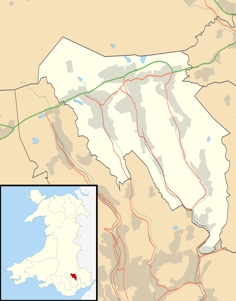
Blank map of Blaenau Gwent, UK with the following information shown:
Equirectangular map projection on WGS 84 datum, with N/S stretched 160% Geographic limits:
|
| 날짜 | |
| 출처 |
|
| 저자 | Nilfanion, created using Ordnance Survey data |
| 저작권 (이 파일을 인용하기) |
이 파일은 크리에이티브 커먼즈 저작자표시-동일조건변경허락 3.0 Unported 라이선스로 배포됩니다. 저작자표시: Contains Ordnance Survey data © Crown copyright and database right
|
| 다른 버전 | File:Blaenau Gwent UK map.svg - Blank map |
파일 역사
날짜/시간 링크를 클릭하면 해당 시간의 파일을 볼 수 있습니다.
| 날짜/시간 | 섬네일 | 크기 | 사용자 | 설명 | |
|---|---|---|---|---|---|
| 현재 | 2010년 9월 27일 (월) 04:26 | | 990 × 1,266 (407 KB) | Nilfanion | {{Information |Description=Blank map of Blaenau Gwent, UK with districts shown. Equirectangular map projection on WGS 84 datum, with N/S stretched 160% Geographic limits: *West: 3.35W *East: 3.10W *North: 51.85N *South: 51.65N |Sourc |
이 파일을 사용하는 문서
다음 문서 1개가 이 파일을 사용하고 있습니다:
이 파일을 사용하고 있는 모든 위키의 문서 목록
다음 위키에서 이 파일을 사용하고 있습니다:
- ar.wikipedia.org에서 이 파일을 사용하고 있는 문서 목록
- br.wikipedia.org에서 이 파일을 사용하고 있는 문서 목록
- ceb.wikipedia.org에서 이 파일을 사용하고 있는 문서 목록
- cy.wikipedia.org에서 이 파일을 사용하고 있는 문서 목록
- da.wikipedia.org에서 이 파일을 사용하고 있는 문서 목록
- en.wikipedia.org에서 이 파일을 사용하고 있는 문서 목록
- Abertillery
- Blaenau Gwent
- Ebbw Vale
- Aberbeeg
- Brynmawr
- Tredegar
- St Illtyd
- Blaina
- Abertillery and District Hospital
- Tredegar General Hospital
- Ysbyty Aneurin Bevan
- Ashvale, Blaenau Gwent
- Beaufort, Blaenau Gwent
- Nantyglo
- Llanhilleth
- Trefil
- Ebbw Vale Hospital
- Rassau
- Cwmtillery
- Cwm, Blaenau Gwent
- Module:Location map/data/Wales Blaenau Gwent/doc
- List of Sites of Special Scientific Interest in Blaenau Gwent
- User:Wop48/sandbox
- Tafarnaubach
- Blaina & District Hospital
- Ysbyty'r Tri Chwm
- List of scheduled monuments in Blaenau Gwent
- Swffryd
- St Illtyd's Church, Llanhilleth
- User:Robevans123/sandbox/Tredegar Town Clock
- Module:Location map/data/Wales Blaenau Gwent
- Badminton, Blaenau Gwent
- Six Bells
- Waun-Lwyd
- Brynithel
- Coalbrookvale
- Georgetown, Blaenau Gwent
- Llan-dafel
- Sirhowy
- Tredegar Town Hall
- es.wikipedia.org에서 이 파일을 사용하고 있는 문서 목록
이 파일의 더 많은 사용 내역을 봅니다.