
파일:Canterbury UK locator map.svg

SVG 파일의 PNG 형식의 미리보기 크기: 800 × 561 픽셀. 다른 해상도: 320 × 225 픽셀 | 640 × 449 픽셀 | 1,024 × 719 픽셀 | 1,280 × 898 픽셀 | 2,560 × 1,796 픽셀 | 1,425 × 1,000 픽셀
원본 파일 (SVG 파일, 실제 크기 1,425 × 1,000 픽셀, 파일 크기: 1.18 MB)
| 설명 |
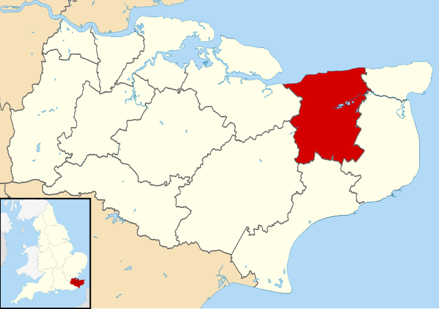
Map of Kent, UK with Canterbury highlighted. Equirectangular map projection on WGS 84 datum, with N/S stretched 160% |
| 날짜 | |
| 출처 |
|
| 저자 | Nilfanion, created using Ordnance Survey data |
| 저작권 (이 파일을 인용하기) |
이 파일은 크리에이티브 커먼즈 저작자표시-동일조건변경허락 3.0 Unported 라이선스로 배포됩니다. 저작자표시: Contains Ordnance Survey data © Crown copyright and database right
|
파일 역사
날짜/시간 링크를 클릭하면 해당 시간의 파일을 볼 수 있습니다.
| 날짜/시간 | 섬네일 | 크기 | 사용자 | 설명 | |
|---|---|---|---|---|---|
| 현재 | 2011년 8월 2일 (화) 18:06 | | 1,425 × 1,000 (1.18 MB) | Nilfanion | {{Information |Description=Map of Kent, UK with Canterbury highlighted. Equirectangular map projection on WGS 84 datum, with N/S stretched 160% |Source=Ordnance Survey [https://www.ordnancesurvey. |
이 파일을 사용하는 문서
다음 문서 1개가 이 파일을 사용하고 있습니다:
이 파일을 사용하고 있는 모든 위키의 문서 목록
다음 위키에서 이 파일을 사용하고 있습니다:
- ar.wikipedia.org에서 이 파일을 사용하고 있는 문서 목록
- azb.wikipedia.org에서 이 파일을 사용하고 있는 문서 목록
- br.wikipedia.org에서 이 파일을 사용하고 있는 문서 목록
- cy.wikipedia.org에서 이 파일을 사용하고 있는 문서 목록
- en.wikipedia.org에서 이 파일을 사용하고 있는 문서 목록
- Canterbury
- Herne Bay
- Whitstable
- Fordwich
- City of Canterbury
- Reculver
- Sturry
- Westbere
- Chartham
- Adisham
- Harbledown
- Bishopsbourne
- Herne and Broomfield
- Blean
- Barham, Kent
- Bekesbourne-with-Patrixbourne
- Upper Harbledown
- Marshside, Kent
- Chislet
- Womenswold
- Chestfield
- Hoath
- Template:Canterbury
- Bekesbourne
- Bridge, Kent
- Hackington
- Herne, Kent
- Hersden
- Patrixbourne
- Ickham and Well
- Kingston, Kent
- Littlebourne
- Lower Hardres
- Upper Hardres
- Petham
- Yorkletts
- Tankerton
- Wickhambreaux
- Thanington
- Wincheap
- Swalecliffe
- Tyler Hill, Kent
- Beltinge
- Waltham, Kent
- Rough Common
- Broad Oak, Kent
이 파일의 더 많은 사용 내역을 봅니다.